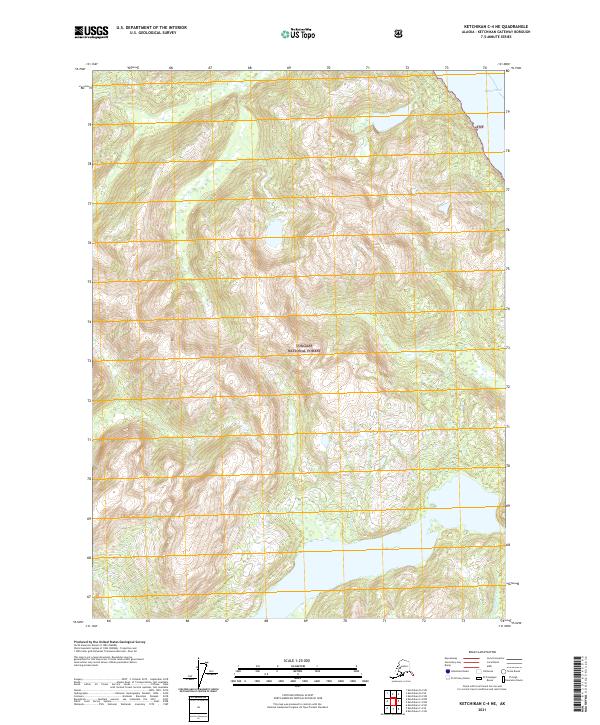
2021 Map of Ketchikan C-4 NE
USGS Topo · Published 2021About this map
The Tongass National Forest dominates this section of the Alaskan panhandle, representing a vast wilderness area within the Ketchikan Gateway Borough. The landscape is defined by the steep elevation changes surrounding Lake Grace, which sits in a high basin in the southern portion of the sheet. To the northeast, the waters of Behm Canal touch the coast, a critical waterway for maritime navigation in the Alexander Archipelago. The map illustrates the complex drainage patterns of the region, including the headwaters of Fromholz Cr. There are no established roads shown within these townships, emphasizing the area's isolation and reliance on water access. These topographic details provide a clear picture of the terrain as it appeared during the 2015–2018 SPOT imagery surveys used for this edition.
Find a feature on this map
8 named features on this map. Tap any name to fly to it.
Don’t see what you’re looking for? This feature index may not catch every label — zoom into the map to look around manually.
Map Details
Editions of this 2021 Ketchikan C-4 NE Map
This is the sole edition of this map. No revisions or reprints were ever made.
Other maps of this area

1952 · Ketchikan
USGS Topo · 1:250,000

1952 · Ketchikan C-4
USGS Topo · 1:63,360

1955 · Ketchikan C-3
USGS Topo · 1:63,360

1955 · Ketchikan D-4
USGS Topo · 1:63,360

1955 · Ketchikan D-3
USGS Topo · 1:63,360

1955 · Ketchikan C-4
USGS Topo · 1:63,360

1955 · Ketchikan
USGS Topo · 1:250,000
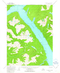
1962 · Ketchikan D-4
USGS Topo · 1:63,360
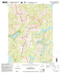
1995 · Ketchikan C-4
USGS Topo · 1:63,360
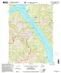
1996 · Ketchikan D-4
USGS Topo · 1:63,360