
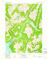
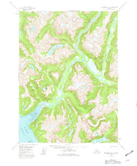
1955 Map of Ketchikan D-3
USGS Topo · Published 1959About this map
The Chickamin River and Leduc River dominate this mid-century coastal landscape, carving deep valleys through the Tongass National Forest. Evidence of human presence is sparse in this maritime wilderness, marked only by isolated structures like Wolf Cabin near the delta and a lone Cabin further up the riverbank. The interaction of glacial runoff and saltwater is visible at the Tidal Flat where the rivers meet the Behm Canal, a primary waterway for regional navigation. This 1955 survey provides an essential look at the drainage patterns of Humpy Creek, Clear Creek, and Choca Creek before later environmental changes. Upland water bodies such as Leduc Lake, Heart Lake, and Gilbert Lake are mapped in detail, showing their relationship to the steep, unnamed ridgelines that define the southern Alaska coastline.
Find a feature on this map
18 named features on this map. Tap any name to fly to it.
Don’t see what you’re looking for? This feature index may not catch every label — zoom into the map to look around manually.
Map Details
Editions of this 1955 Ketchikan D-3 Map
3 editions found
Other maps of this area

1951 · Bradfield Canal
USGS Topo · 1:250,000

1952 · Ketchikan
USGS Topo · 1:250,000

1952 · Ketchikan C-4
USGS Topo · 1:63,360

1954 · Bradfield Canal
USGS Topo · 1:250,000

1955 · Ketchikan C-3
USGS Topo · 1:63,360

1955 · Ketchikan D-2
USGS Topo · 1:63,360

1955 · Bradfield canal A-4
USGS Topo · 1:63,360

1955 · Bradfield canal A-2
USGS Topo · 1:63,360

1955 · Ketchikan C-2
USGS Topo · 1:63,360

1955 · Ketchikan D-4
USGS Topo · 1:63,360