
1955 Map of Ketchikan D-2
USGS Topo · Published 1959About this map
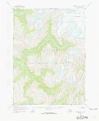
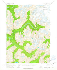
Tongass National Forest dominates this mid-century topographic study, showcasing a landscape defined by glacial activity and high-altitude river systems. The northern portion of the map is significantly shaped by Through Glacier, while the Chickamin River and its tributary Indian Creek drain the steep, high-elevation terrain to the west. On the eastern boundary, the Davis River flows through the dense forest, providing a glimpse into the hydrography of this isolated wilderness before modern development. Based on aerial photography from the late 1940s, this chart captures the pristine state of the coastal mountains, where no roads or trails existed at the time of the 1955 field annotation. The intricate contour lines illustrate the steep drainage basins and ice fields that characterize this portion of the Ketchikan region.
Find a feature on this map
5 named features on this map. Tap any name to fly to it.
Don’t see what you’re looking for? This feature index may not catch every label — zoom into the map to look around manually.
Map Details
Editions of this 1955 Ketchikan D-2 Map
4 editions found
Other maps of this area

1951 · Bradfield Canal
USGS Topo · 1:250,000

1952 · Ketchikan
USGS Topo · 1:250,000

1954 · Bradfield Canal
USGS Topo · 1:250,000

1955 · Ketchikan C-3
USGS Topo · 1:63,360

1955 · Bradfield canal A-2
USGS Topo · 1:63,360

1955 · Ketchikan C-2
USGS Topo · 1:63,360

1955 · Ketchikan D-3
USGS Topo · 1:63,360

1955 · Bradfield Canal A-1
USGS Topo · 1:63,360

1955 · Ketchikan D-1
USGS Topo · 1:63,360

1955 · Bradfield canal A-3
USGS Topo · 1:63,360