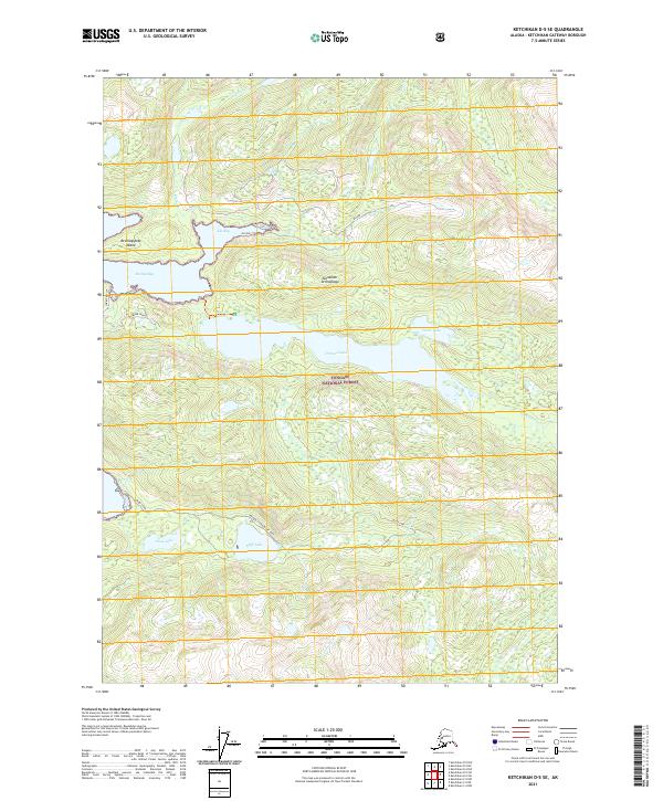
2021 Map of Ketchikan D-5 SE
USGS Topo · Published 2021About this map
Tongass National Forest dominates this section of the Alexander Archipelago, where the steep, glacier-carved terrain of Revillagigedo Island meets the deep waters of the Behm Canal. This modern survey illustrates the complex coastal geography of the Alaska Panhandle, centered on significant inland water bodies like Orchard Lake and Neets Lake. The drainage patterns are clearly defined by steep-walled valleys feeding into Shrimp Bay and Klu Bay, with seasonal flows from Carroll Cr and Klam Cr marking the rugged interior. As a record of the early twenty-first century, the map provides a precise look at the forest's hydrological network and the relationship between the saltwater fjords and the high-elevation lakes that define this maritime wilderness.
Find a feature on this map
19 named features on this map. Tap any name to fly to it.
Don’t see what you’re looking for? This feature index may not catch every label — zoom into the map to look around manually.
Map Details
Editions of this 2021 Ketchikan D-5 SE Map
This is the sole edition of this map. No revisions or reprints were ever made.
Other maps of this area

1948 · Ketchikan C-5
USGS Topo · 1:63,360

1952 · Ketchikan
USGS Topo · 1:250,000

1952 · Ketchikan C-4
USGS Topo · 1:63,360

1952 · Ketchikan D-5
USGS Topo · 1:63,360

1953 · Ketchikan C-5
USGS Topo · 1:63,360

1953 · Ketchikan D-5
USGS Topo · 1:63,360

1955 · Ketchikan D-4
USGS Topo · 1:63,360

1955 · Ketchikan C-4
USGS Topo · 1:63,360

1955 · Ketchikan
USGS Topo · 1:250,000
1962 · Ketchikan D-4
USGS Topo · 1:63,360