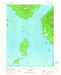
1955 Map of Ketchikan A-4
USGS Topo · Published 1965About this map
The Mary Island Lighthouse stands as a vital navigational aid in the southern reaches of the Alexander Archipelago, overlooking the complex intersections of Revillagigedo Channel and Felice Strait. This mid-century coastal survey documents a rugged maritime landscape where the small settlement of Ham on the western shore of Revillagigedo Island contrasts with the uninhabited peaks of Behm Mountain and Backbone Mountain to the east. The waterway system is defined by deep passages like Danger Passage and Cat Passage, which separate Mary Island and Cat Island from the larger landmasses. Notable land features such as Mound Hill and the ridges of Alava Ridge provide high-ground markers for mariners navigating the treacherous waters around Bostwick Reef and the Hog Rocks.
Find a feature on this map
52 named features on this map. Tap any name to fly to it.
Don’t see what you’re looking for? This feature index may not catch every label — zoom into the map to look around manually.
Map Details
Editions of this 1955 Ketchikan A-4 Map
3 editions found
Other maps of this area

1949 · Ketchikan B-4
USGS Topo · 1:63,360

1951 · Prince Rupert
USGS Topo · 1:250,000

1952 · Ketchikan
USGS Topo · 1:250,000

1952 · Ketchikan B-4
USGS Topo · 1:63,360

1954 · Ketchikan B-5
USGS Topo · 1:63,360

1955 · Prince Rupert D-3
USGS Topo · 1:63,360

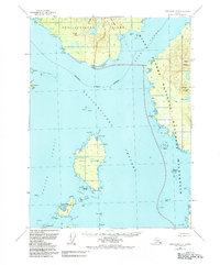
1955 · Ketchikan A-4
USGS Topo · 1:63,360

1955 · Ketchikan A-5
USGS Topo · 1:63,360
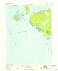
1955 · Prince Rupert D-5
USGS Topo · 1:63,360
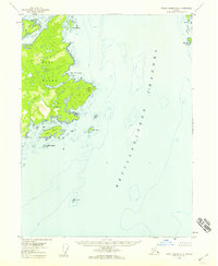
1955 · Prince Rupert D-4
USGS Topo · 1:63,360