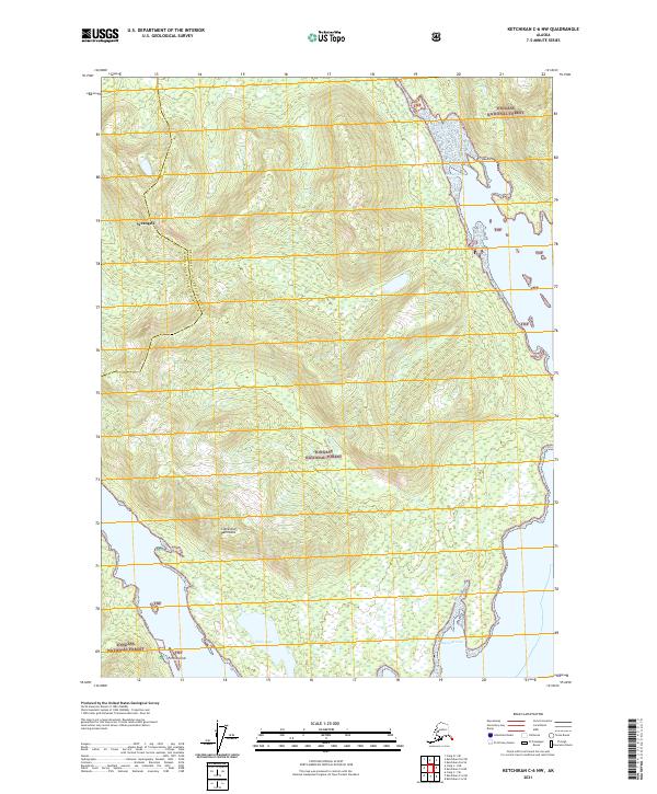
2021 Map of Ketchikan C-6 NW
USGS Topo · Published 2021About this map
Cleveland Peninsula defines this coastal reach of Southeast Alaska, where the mountainous terrain of the Tongass National Forest meets the intricate waterways of the Alexander Archipelago. The 2021 survey illustrates a land primarily shaped by natural features rather than human infrastructure, highlighting the importance of maritime access to the region. Water bodies like Helm Lake and Raymond Cove are prominent landmarks in a landscape defined by steep drainages such as Granite Cr. The boundary between the Ketchikan Gateway Borough and Wrangell City and Borough cuts through the northern section near Wrangell, indicating the administrative divisions of this sparsely populated wilderness. Small landforms like Forss Island dot the coastline, providing critical reference points for navigation along the peninsula's edge.
Find a feature on this map
9 named features on this map. Tap any name to fly to it.
Don’t see what you’re looking for? This feature index may not catch every label — zoom into the map to look around manually.
Map Details
Editions of this 2021 Ketchikan C-6 NW Map
This is the sole edition of this map. No revisions or reprints were ever made.
Other maps of this area

1949 · Ketchikan C-6
USGS Topo · 1:63,360

1949 · Craig D-1
USGS Topo · 1:63,360

1950 · Craig C-1
USGS Topo · 1:63,360

1951 · Craig C-1
USGS Topo · 1:63,360

1951 · Craig D-1
USGS Topo · 1:63,360

1952 · Ketchikan
USGS Topo · 1:250,000

1952 · Ketchikan C-6
USGS Topo · 1:63,360

1952 · Ketchikan D-6
USGS Topo · 1:63,360

1953 · Ketchikan D-6
USGS Topo · 1:63,360

1955 · Ketchikan
USGS Topo · 1:250,000