
1952 Map of Ketchikan D-6
USGS Topo · Published 1964About this map
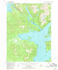
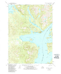
Lake Mc Donald and the intricate coastline of the Cleveland Peninsula dominate this mid-century coastal survey. This portion of the Tongass National Forest showcases a landscape defined by deep fjords and maritime navigation, specifically around the meeting of Behm Canal and Gedney Pass. A significant historical detail is the Fish Hatchery (Aband) near the northern reach of Yes Bay, indicating earlier industrial or conservation efforts in these waters.
Find a feature on this map
36 named features on this map. Tap any name to fly to it.
Don’t see what you’re looking for? This feature index may not catch every label — zoom into the map to look around manually.
Map Details
Editions of this 1952 Ketchikan D-6 Map
3 editions found
Other maps of this area

1948 · Petersburg A-1
USGS Topo · 1:63,360

1948 · Ketchikan C-5
USGS Topo · 1:63,360

1949 · Ketchikan C-6
USGS Topo · 1:63,360

1949 · Craig D-1
USGS Topo · 1:63,360

1950 · Craig C-1
USGS Topo · 1:63,360

1951 · Bradfield Canal
USGS Topo · 1:250,000

1951 · Craig C-1
USGS Topo · 1:63,360

1951 · Craig D-1
USGS Topo · 1:63,360

1951 · Petersburg A-1
USGS Topo · 1:63,360

1952 · Petersburg
USGS Topo · 1:250,000