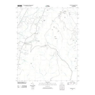
2010 Map of Ketner Gap
USGS Topo · Published 2010About this map
Powells Crossroads serves as a central hub in this landscape where the valley floor meets the steep ridges of the Cumberland Plateau. The terrain is defined by a dense concentration of mineral resource extraction, particularly in the northern and eastern sections where operations like the Big Government Mine, Moore and Turner Mine, and Hickey Mine dot the hillsides. These mines, often named for local families, suggest a long-standing reliance on the region's geological wealth.
Find a feature on this map
81 named features on this map. Tap any name to fly to it.
Don’t see what you’re looking for? This feature index may not catch every label — zoom into the map to look around manually.
Map Details
Editions of this 2010 Ketner Gap Map
This is the sole edition of this map. No revisions or reprints were ever made.
Other maps of this area

1888 · Chattanooga
USGS Topo · 1:125,000

1893 · Chattanooga
USGS Topo · 1:125,000

1895 · Sewanee
USGS Topo · 1:125,000

1936 · Palmer
USGS Topo · 1:24,000

1936 · Daus
USGS Topo · 1:24,000

1936 · Henson Gap
USGS Topo · 1:24,000

1936 · Whitwell
USGS Topo · 1:24,000

1936 · Ketner Gap
USGS Topo · 1:24,000

1936 · Fairmount
USGS Topo · 1:24,000

1936 · Wauhatchie
USGS Topo · 1:24,000
Featured Places
- Signal Mountain, TN
- Whitwell, TN
- Powells Crossroads, TN
- Shirleyton, TN
- Sulphur Springs, Powells Crossroads