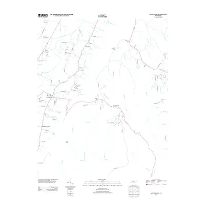
2013 Map of Ketner Gap
USGS Topo · Published 2013About this map
Powells Crossroads serves as a central point in this valley landscape, where the road network branches out toward the surrounding ridges. The geography is defined by the sharp transition between the lowlands along the Sequatchie River and the high plateaus accessed through passes like Ketner Gap and Burnett Gap. To the south, Sulphur Springs and Suck Creek mark areas where the water drainage patterns, including Hurricane Cr and Mullens Cr, carve through the terrain. The presence of numerous small branches and springs, such as Johnson Spring and Hudson Br, illustrates a rural Tennessee community shaped by its hydrologic features. Local life is anchored by family-named landmarks and routes, from Mount Calvary Rd to Ketner Cove Lake, reflecting a pattern of settlement that follows the natural contours and water sources of the region.
Find a feature on this map
101 named features on this map. Tap any name to fly to it.
Don’t see what you’re looking for? This feature index may not catch every label — zoom into the map to look around manually.
Map Details
Editions of this 2013 Ketner Gap Map
This is the sole edition of this map. No revisions or reprints were ever made.
Other maps of this area

1888 · Chattanooga
USGS Topo · 1:125,000

1893 · Chattanooga
USGS Topo · 1:125,000

1895 · Sewanee
USGS Topo · 1:125,000

1936 · Palmer
USGS Topo · 1:24,000

1936 · Daus
USGS Topo · 1:24,000

1936 · Henson Gap
USGS Topo · 1:24,000

1936 · Whitwell
USGS Topo · 1:24,000

1936 · Ketner Gap
USGS Topo · 1:24,000

1936 · Fairmount
USGS Topo · 1:24,000

1936 · Wauhatchie
USGS Topo · 1:24,000
Featured Places
- Signal Mountain, TN
- Whitwell, TN
- Powells Crossroads, TN
- Shirleyton, TN
- Sulphur Springs, Powells Crossroads