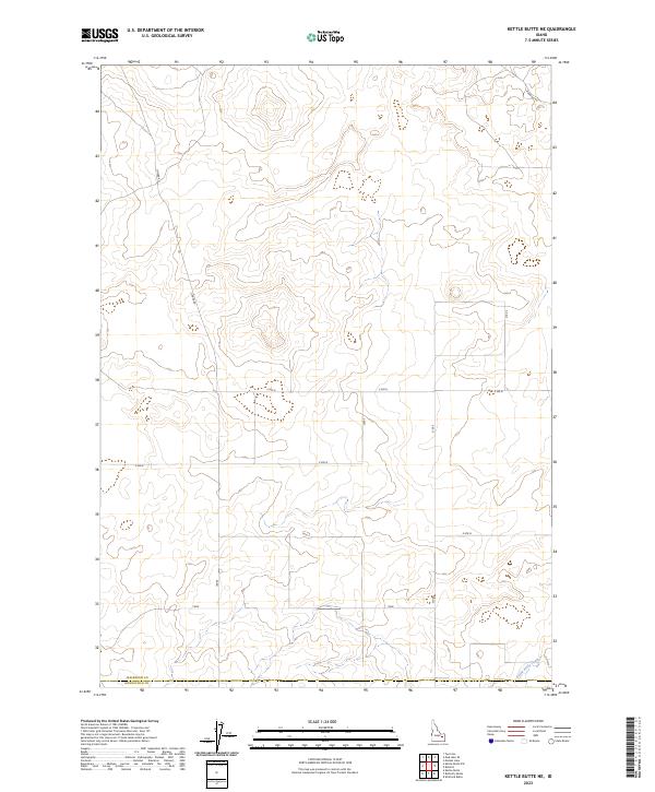
2023 Map of Kettle Butte NE
USGS Topo · Published 2023About this map
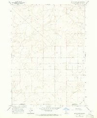
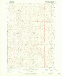
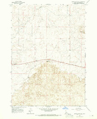
The boundary line between Jefferson and Bonneville counties cuts across the southern reach of this landscape, an area characterized by the intricate drainage patterns of the Kettle Butte Drain. This modern 2023 survey illustrates the sparse, high-desert road network typical of the Snake River Plain, where utilitarian routes like Cinder Rd and Diamond Rd provide access to the vast open sections. The map is primarily organized around the Public Land Survey System grids of T5N R35E and surrounding townships, reflecting the geometric parceling of Idaho’s volcanic plains. This is a quiet, rural terrain where the topography is defined more by subtle elevation changes and man-made water management than by concentrated settlement.
Find a feature on this map
11 named features on this map. Tap any name to fly to it.
Don’t see what you’re looking for? This feature index may not catch every label — zoom into the map to look around manually.
Map Details
Editions of this 2023 Kettle Butte NE Map
This is the sole edition of this map. No revisions or reprints were ever made.
Other maps of this area

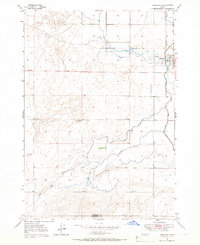
1949 · Roberts
USGS Topo · 1:62,500
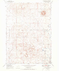
1949 · Roberts
USGS Topo · 1:24,000
1949 · Shattuck Butte
USGS Topo · 1:24,000

1950 · Shattuck Butte
USGS Topo · 1:24,000
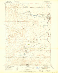
1950 · Roberts
USGS Topo · 1:24,000

1955 · Idaho Falls
USGS Topo · 1:250,000

1958 · Idaho Falls
USGS Topo · 1:250,000
1964 · Kettle Butte NE
USGS Topo · 1:24,000
1964 · Kettle Butte NW
USGS Topo · 1:24,000
1964 · Kettle Butte SW
USGS Topo · 1:24,000