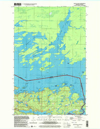
1999 Map of Kettle Falls
USGS Topo · Published 2003About this map
Voyageurs National Park encompasses the rugged lake-and-forest landscape of Northern Minnesota at the turn of the millennium, following the international border between Canada and the United States. The settlement of Kettle Falls serves as a key transition point between two massive water bodies, Rainy Lake and Namakan Lake. This remote aquatic geography is defined by complex inlets and passages, such as Friendly Passage and Rat River Bay, which reflect the historic travel routes of the voyageurs.
Find a feature on this map
27 named features on this map. Tap any name to fly to it.
Don’t see what you’re looking for? This feature index may not catch every label — zoom into the map to look around manually.
Map Details
Editions of this 1999 Kettle Falls Map
This is the sole edition of this map. No revisions or reprints were ever made.
Other maps of this area

1954 · International Falls
USGS Topo · 1:250,000

1957 · International Falls
USGS Topo · 1:250,000

1958 · International Falls
USGS Topo · 1:250,000

1967 · Namakan Island
USGS Topo · 1:24,000

1967 · Hale Bay
USGS Topo · 1:24,000

1967 · Kempton Bay
USGS Topo · 1:24,000
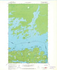
1967 · Kettle Falls
USGS Topo · 1:24,000

1968 · Ash River NE
USGS Topo · 1:24,000
1978 · Brule Narrows
USGS Topo · 1:100,000
1978 · Crane Lake
USGS Topo · 1:100,000