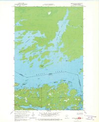
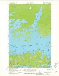
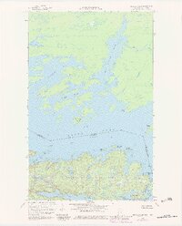
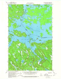
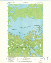
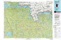
1967 Map of Kettle Falls
USGS Topo · Published 1970About this map
The Canada-United States border cuts through the center of this intricate water-and-land survey, tracing a liquid boundary through Rainy Lake. The settlement of Kettle Falls serves as a lonely landmark at the portage between the great lakes of the north woods, situated precisely where the Ontario-Minnesota line meets the drainage of Namakan Lake. The terrain is dominated by the dense woodlands of the Kabetogama State Forest, which is carved into a maze of peninsulas and islands by Mica Bay and Anderson Bay. This mapping effort combined American photogrammetric data with Canadian advance prints to detail a complex shoreline where features like Friendly Passage and Cormorant Bay define the difficult navigation of the era. The presence of numerous named points and islands, such as Surveyors Island and Blackpoint Island, highlights the importance of precise landmarks for boundary maintenance and local water travel.
Find a feature on this map
25 named features on this map. Tap any name to fly to it.
Don’t see what you’re looking for? This feature index may not catch every label — zoom into the map to look around manually.
Map Details
Editions of this 1967 Kettle Falls Map
3 editions found
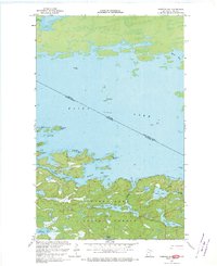
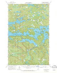
Other maps of this area

1954 · International Falls
USGS Topo · 1:250,000

1957 · International Falls
USGS Topo · 1:250,000

1958 · International Falls
USGS Topo · 1:250,000
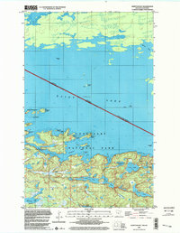
1967 · Namakan Island
USGS Topo · 1:24,000
1967 · Hale Bay
USGS Topo · 1:24,000
1967 · Kempton Bay
USGS Topo · 1:24,000
1968 · Ash River NE
USGS Topo · 1:24,000
1978 · Brule Narrows
USGS Topo · 1:100,000
1978 · Crane Lake
USGS Topo · 1:100,000
1999 · Kempton Bay
USGS Topo · 1:24,000