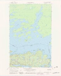
1967 Map of Kettle Falls
USGS Topo · Published 1983About this map
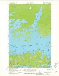
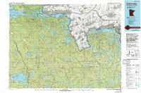
Rainy Lake and Namakan Lake dominate this international borderland, where the boundary between the United States and Canada runs through open water and narrow channels. Centered on the historic portage point at Kettle Falls, the landscape is a complex network of islands and peninsulas, including Minnitaki Island and the rugged Deerhorn Point. Significant portions of the southern terrain are designated as Voyageurs National Park, preserving a wilderness of interconnected waterways like Mica Bay and Anderson Bay. The map reveals the intricate shoreline of Cormorant Bay and the northern reaches of Rat River Bay, illustrating the difficult navigation of the region. Inland water bodies such as Ryan Lake and McDivitt Lake are tucked into the dense topography, showing the area's character as it was documented in the late 1960s with early 1980s revisions.
Find a feature on this map
27 named features on this map. Tap any name to fly to it.
Don’t see what you’re looking for? This feature index may not catch every label — zoom into the map to look around manually.
Map Details
Editions of this 1967 Kettle Falls Map
3 editions found
Other maps of this area

1954 · International Falls
USGS Topo · 1:250,000

1957 · International Falls
USGS Topo · 1:250,000

1958 · International Falls
USGS Topo · 1:250,000

1967 · Namakan Island
USGS Topo · 1:24,000

1967 · Hale Bay
USGS Topo · 1:24,000

1967 · Kempton Bay
USGS Topo · 1:24,000
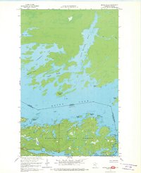
1967 · Kettle Falls
USGS Topo · 1:24,000

1968 · Ash River NE
USGS Topo · 1:24,000
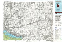
1978 · Brule Narrows
USGS Topo · 1:100,000
1978 · Crane Lake
USGS Topo · 1:100,000