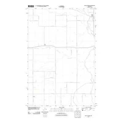
2010 Map of Kettle River
USGS Topo · Published 2010About this map
Kettle River serves as the central settlement on this northeastern Minnesota landscape, where the Kettle River Post Office anchors local community life. The terrain is defined by a dense drainage network, featuring the winding paths of the Dead Moose River, Silver Creek, and the Split Rock River. For genealogists and local historians, the presence of Saint Joseph's Cemetery and Nordland Cemetery provides specific points of interest for family research. The transportation layout reveals a shift in use over time, notably with the Soo Line Trl following an established rail corridor across the northern and southern sections of the map. This network of county highways and local roads, such as County Hwy-12 and County Hwy-46, illustrates the persistent rural infrastructure connecting the area's homesteads and farms.
Find a feature on this map
35 named features on this map. Tap any name to fly to it.
Don’t see what you’re looking for? This feature index may not catch every label — zoom into the map to look around manually.
Map Details
Editions of this 2010 Kettle River Map
This is the sole edition of this map. No revisions or reprints were ever made.
Other maps of this area

1953 · Duluth
USGS Topo · 1:250,000

1958 · Duluth
USGS Topo · 1:250,000

1961 · Cromwell
USGS Topo · 1:62,500

1961 · Moose Lake
USGS Topo · 1:62,500

1969 · Arthyde
USGS Topo · 1:24,000

1969 · Ronald
USGS Topo · 1:24,000

1969 · Automba
USGS Topo · 1:24,000

1980 · Sandstone
USGS Topo · 1:100,000

1980 · Duluth
USGS Topo · 1:100,000

1981 · Willow River
USGS Topo · 1:24,000
Featured Places
- Kettle River, MN
- Split Rock Township, MN
- Birch Creek Township, MN
- Sturgeon Lake Township, MN
- Silver Township, MN