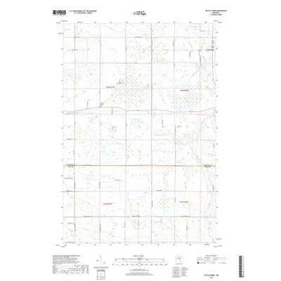
2019 Map of Kettle River
USGS Topo · Published 2019About this map
The town of Kettle River anchors the northeastern corner of this landscape where the Silver Cr joins the larger Kettle River. Spanning the border of Carlton and Pine counties, the area is defined by its extensive wetland networks and a grid of rural township roads. Several local families are memorialized through thoroughfare names like Butkiewicz RD and Walczak RD, reflecting the settled history of these townships. Two local burial sites, Saint Joseph's Cem and Nordland Cem, provide valuable reference points for genealogists researching the northern Minnesota borderlands. The central portion of the map is dominated by the winding course of the Split Rock River, which cuts west-to-east across the low-lying terrain, creating a complex drainage pattern across the township lines.
Find a feature on this map
49 named features on this map. Tap any name to fly to it.
Don’t see what you’re looking for? This feature index may not catch every label — zoom into the map to look around manually.
Map Details
Editions of this 2019 Kettle River Map
This is the sole edition of this map. No revisions or reprints were ever made.
Other maps of this area

1953 · Duluth
USGS Topo · 1:250,000

1958 · Duluth
USGS Topo · 1:250,000

1961 · Cromwell
USGS Topo · 1:62,500

1961 · Moose Lake
USGS Topo · 1:62,500

1969 · Arthyde
USGS Topo · 1:24,000

1969 · Ronald
USGS Topo · 1:24,000

1969 · Automba
USGS Topo · 1:24,000

1980 · Sandstone
USGS Topo · 1:100,000

1980 · Duluth
USGS Topo · 1:100,000

1981 · Willow River
USGS Topo · 1:24,000
Featured Places
- Kettle River, MN
- Split Rock Township, MN
- Birch Creek Township, MN
- Sturgeon Lake Township, MN
- Silver Township, MN