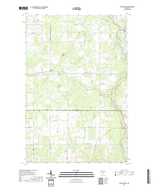
2022 Map of Kettle River
USGS Topo · Published 2022About this map
Kettle River serves as the focal point for this landscape where the Carlton Co Pine Co boundary divides the terrain. The region is defined by its riparian corridors, notably the Kettle River itself and the Split Rock River, which weave through a network of rural townships. Evidence of the area's rail history is preserved in the modern Soo Line North: Carlton Trl, indicating the former importance of timber or industrial transport through these northern woods. Local genealogy and land use patterns are anchored by sites such as Saint Joseph's Cem and Nordland Cem, while family-named roads like Butkiewicz Rd, Sarvela Rd, and Walczak Rd suggest the enduring presence of specific homesteading lineages within the quadrangle.
Find a feature on this map
52 named features on this map. Tap any name to fly to it.
Don’t see what you’re looking for? This feature index may not catch every label — zoom into the map to look around manually.
Map Details
Editions of this 2022 Kettle River Map
This is the sole edition of this map. No revisions or reprints were ever made.
Other maps of this area

1953 · Duluth
USGS Topo · 1:250,000

1958 · Duluth
USGS Topo · 1:250,000

1961 · Cromwell
USGS Topo · 1:62,500

1961 · Moose Lake
USGS Topo · 1:62,500

1969 · Arthyde
USGS Topo · 1:24,000

1969 · Ronald
USGS Topo · 1:24,000

1969 · Automba
USGS Topo · 1:24,000

1980 · Sandstone
USGS Topo · 1:100,000

1980 · Duluth
USGS Topo · 1:100,000

1981 · Willow River
USGS Topo · 1:24,000
Featured Places
- Kettle River, MN
- Silver Township, MN
- Split Rock Township, MN
- Birch Creek Township, MN
- Sturgeon Lake Township, MN