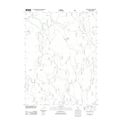
2012 Map of Kettle Rock
USGS Topo · Published 2012About this map
Engel Mine and the Upper Camp mark the industrial history of this high-elevation landscape in Plumas County. The terrain is defined by dramatic geological features such as Kettle Rock, Eisenheimer Peak, and Rattlesnake Peak, which overlook a network of seasonal drainages including Hungry Cr and Cold Stream. Human presence is sparse, appearing mostly as named isolated points like Browns Cabin and the remote Babcock Crossing at the edge of the sheet.
Find a feature on this map
31 named features on this map. Tap any name to fly to it.
Don’t see what you’re looking for? This feature index may not catch every label — zoom into the map to look around manually.
Map Details
Editions of this 2012 Kettle Rock Map
This is the sole edition of this map. No revisions or reprints were ever made.
Other maps of this area

1886 · Honey Lake
USGS Topo · 1:250,000

1891 · Honey Lake
USGS Topo · 1:250,000

1893 · Honey Lake
USGS Topo · 1:250,000

1950 · Kettle Rock
USGS Topo · 1:62,500

1950 · Greenville
USGS Topo · 1:62,500

1954 · Susanville
USGS Topo · 1:62,500

1955 · Westwood
USGS Topo · 1:62,500

1955 · Westwood
USGS Topo · 1:250,000

1958 · Westwood
USGS Topo · 1:250,000

1959 · Westwood
USGS Topo · 1:250,000