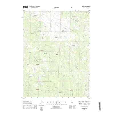
2018 Map of Kettle Rock
USGS Topo · Published 2018About this map
Kettle Rock and its surrounding peaks dominate this high-altitude landscape in the Plumas National Forest. The 2018 survey reveals a terrain defined by steep drainage systems and prominent summits, including Eisenheimer Peak and Rattlesnake Peak. A network of Forest Service roads and spur tracks, such as Kettle Rock Rd and the Upper Peters Cr Spur, provides access to these elevations and the numerous springs and lakes that dot the area.
Find a feature on this map
81 named features on this map. Tap any name to fly to it.
Don’t see what you’re looking for? This feature index may not catch every label — zoom into the map to look around manually.
Map Details
Editions of this 2018 Kettle Rock Map
This is the sole edition of this map. No revisions or reprints were ever made.
Other maps of this area

1886 · Honey Lake
USGS Topo · 1:250,000

1891 · Honey Lake
USGS Topo · 1:250,000

1893 · Honey Lake
USGS Topo · 1:250,000

1950 · Kettle Rock
USGS Topo · 1:62,500

1950 · Greenville
USGS Topo · 1:62,500

1954 · Susanville
USGS Topo · 1:62,500

1955 · Westwood
USGS Topo · 1:62,500

1955 · Westwood
USGS Topo · 1:250,000

1958 · Westwood
USGS Topo · 1:250,000

1959 · Westwood
USGS Topo · 1:250,000