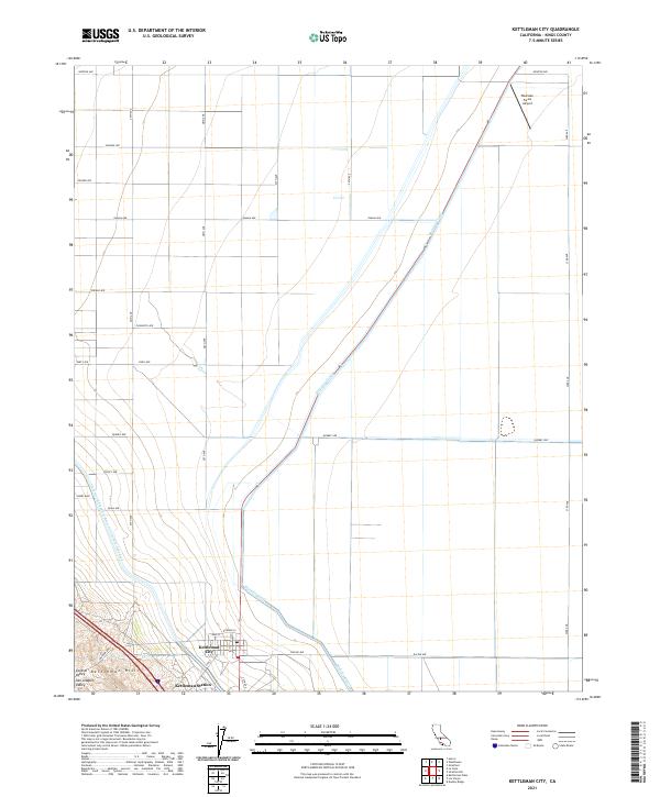
2021 Map of Kettleman City
USGS Topo · Published 2021About this map
Kettleman City sits at the southwestern edge of the San Joaquin Valley, where the flat agricultural expanse meets the rising topography of the Kettleman Hills. This 2021 survey illustrates the critical water infrastructure supporting the Central Valley economy, dominated by the diagonal path of the Blakeley Canal and the massive Governor Edmund G Brown California Aqueduct. The town site itself is organized around a traditional grid featuring streets like King St and Edward St, while the surrounding landscape is defined by a rigid section-line road network, including 25th Ave and Quebec Ave. Further south, Kettleman Station and the industrial-aligned Milham Ave reflect the region's long-standing connection to resource transport and energy production. In the northeast, the Westlake Farms Airport stands as a focal point for the large-scale farming operations that characterize this portion of Kings County.
Find a feature on this map
34 named features on this map. Tap any name to fly to it.
Don’t see what you’re looking for? This feature index may not catch every label — zoom into the map to look around manually.
Map Details
Editions of this 2021 Kettleman City Map
This is the sole edition of this map. No revisions or reprints were ever made.
Other maps of this area

1912 · Coalinga
USGS Topo · 1:125,000

1914 · Lost Hills
USGS Topo · 1:125,000

1914 · Cholame
USGS Topo · 1:125,000

1915 · Cholame
USGS Topo · 1:125,000

1917 · Cholame
USGS Topo · 1:125,000

1929 · Stratford
USGS Topo · 1:31,680

1929 · Westhaven
USGS Topo · 1:31,680

1930 · Discovery Well
USGS Topo · 1:31,680

1930 · Kettleman Plain
USGS Topo · 1:31,680

1930 · Middle Dome
USGS Topo · 1:31,680