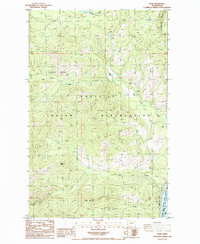
1985 Map of Kewa
USGS Topo · Published 1985About this map
The Colville Indian Reservation encompasses this high-elevation landscape above the Columbia River in Ferry County. This mid-1980s data shows the small settlement of Kewa positioned between the river and the steep interior peaks of Middle Mountain. The geography is defined by narrow canyons and creek beds, notably Nez Perce Creek and Stray Dog Canyon, which drain toward the vast waters of Lake Roosevelt.
Find a feature on this map
22 named features on this map. Tap any name to fly to it.
Don’t see what you’re looking for? This feature index may not catch every label — zoom into the map to look around manually.
Map Details
Editions of this 1985 Kewa Map
2 editions found
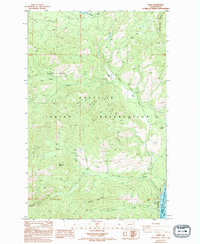
Other maps of this area

1948 · Hunters
USGS Topo · 1:62,500

1948 · Wilmont Creek
USGS Topo · 1:62,500

1950 · Wilmont Creek
USGS Topo · 1:62,500

1950 · Hunters
USGS Topo · 1:62,500

1950 · Inchelium
USGS Topo · 1:62,500

1952 · Twin Lakes
USGS Topo · 1:62,500

1954 · Okanogan
USGS Topo · 1:250,000

1956 · Wilmont Creek
USGS Topo · 1:62,500

1958 · Okanogan
USGS Topo · 1:250,000

1984 · Nespelem
USGS Topo · 1:100,000