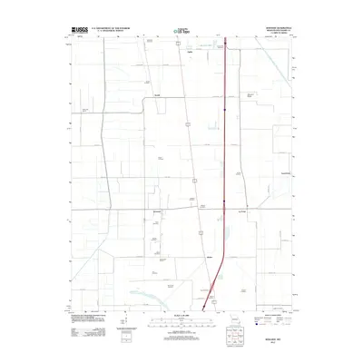
2012 Map of Kewanee
USGS Topo · Published 2012About this map
Sikeston Ridge defines the eastern portion of this landscape, overlooking a network of agricultural drainage including the Saint Johns Ditch. Small settlements such as Kewanee, La Forge, and Ristine are linked by a grid of county roads that reflect the area's intensive farming history. The map is particularly rich for genealogical research, documenting numerous family-named burial sites like Matthews Cemetery, Knox Cemetery, and Steele Cemetery that dot the countryside. Educational history is preserved through the locations of the White Oak School and the Rosenwald School. This survey captures the rural character of New Madrid County, where the transition between the ridge and the lowlands of Lake Saint Mary shaped the placement of early communities and homesteads.
Find a feature on this map
51 named features on this map. Tap any name to fly to it.
Don’t see what you’re looking for? This feature index may not catch every label — zoom into the map to look around manually.
Map Details
Editions of this 2012 Kewanee Map
This is the sole edition of this map. No revisions or reprints were ever made.
Other maps of this area

1931 · Sikeston
USGS Topo · 1:62,500

1934 · Sikeston
USGS Topo · 1:62,500

1939 · Sikeston
USGS Topo · 1:62,500

1939 · Charleston
USGS Topo · 1:62,500

1939 · New Madrid
USGS Topo · 1:62,500

1939 · Bayouville
USGS Topo · 1:62,500

1951 · New Madrid SE
USGS Topo · 1:24,000

1951 · Hubbard Lake
USGS Topo · 1:24,000

1954 · Charleston
USGS Topo · 1:62,500

1954 · New Madrid
USGS Topo · 1:62,500