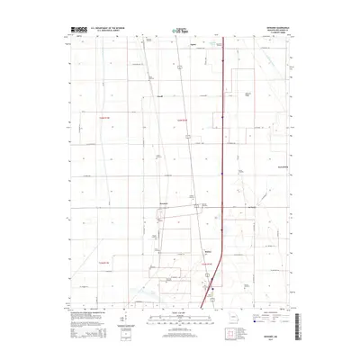
2015 Map of Kewanee
USGS Topo · Published 2015About this map
Sikeston Ridge forms the backbone of this landscape, a prominent geological feature in New Madrid County where the elevated terrain dictates the placement of settlements and transport routes. Small communities like Kewanee, Noxall, and Ristine are linked by a dense grid of county roads and the modern corridor of the Interstate, while the low-lying areas are defined by drainage infrastructure such as Ash Slough Ditch and Saint Johns Ditch.
Find a feature on this map
53 named features on this map. Tap any name to fly to it.
Don’t see what you’re looking for? This feature index may not catch every label — zoom into the map to look around manually.
Map Details
Editions of this 2015 Kewanee Map
This is the sole edition of this map. No revisions or reprints were ever made.
Other maps of this area

1931 · Sikeston
USGS Topo · 1:62,500

1934 · Sikeston
USGS Topo · 1:62,500

1939 · Sikeston
USGS Topo · 1:62,500

1939 · Charleston
USGS Topo · 1:62,500

1939 · New Madrid
USGS Topo · 1:62,500

1939 · Bayouville
USGS Topo · 1:62,500

1951 · New Madrid SE
USGS Topo · 1:24,000

1951 · Hubbard Lake
USGS Topo · 1:24,000

1954 · Charleston
USGS Topo · 1:62,500

1954 · New Madrid
USGS Topo · 1:62,500