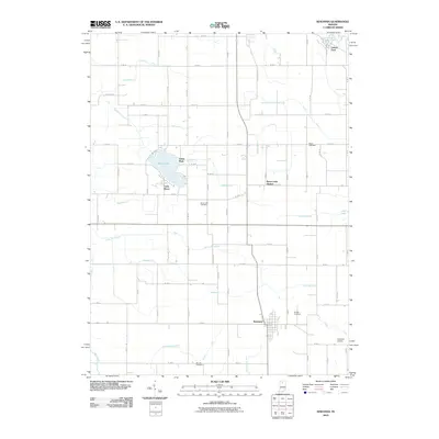
2010 Map of Kewanna
USGS Topo · Published 2010About this map
Kewanna anchors the southern portion of this landscape, characterized by a complex network of agricultural drainage and small rural settlements. The drainage system, featuring named channels such as Troutman Hogan Ditch and Sneep Gillespie Ditch, illustrates the intensive land management required to sustain farming in this part of Indiana. To the north, the recreational and residential character around Bruce Lake is evident, with Lake Bruce and Bruce Lake Station marking the area's development alongside Guise Park. The Tippecanoe River cuts through the northeast corner near Leiters Ford, providing a distinct natural contrast to the grid-heavy road and ditch patterns seen elsewhere. Genealogists will find significant value in the distribution of family-named burial grounds, including Moon, Shaffer, and Barnett, which are scattered throughout the rural sections alongside Newman Airport.
Find a feature on this map
60 named features on this map. Tap any name to fly to it.
Don’t see what you’re looking for? This feature index may not catch every label — zoom into the map to look around manually.
Map Details
Editions of this 2010 Kewanna Map
This is the sole edition of this map. No revisions or reprints were ever made.
Other maps of this area

1953 · Chicago
USGS Topo · 1:250,000

1953 · Danville
USGS Topo · 1:250,000

1955 · Danville
USGS Topo · 1:250,000

1956 · Danville
USGS Topo · 1:250,000

1957 · Chicago
USGS Topo · 1:250,000

1960 · Fulton
USGS Topo · 1:24,000

1960 · Grass Creek
USGS Topo · 1:24,000

1962 · Pershing
USGS Topo · 1:24,000

1962 · Winamac
USGS Topo · 1:24,000

1962 · Star City
USGS Topo · 1:24,000