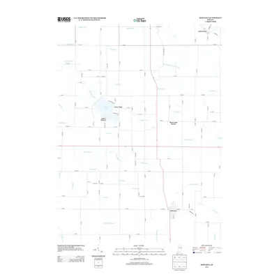
2013 Map of Kewanna
USGS Topo · Published 2013About this map
Kewanna anchors the southern portion of this landscape, where the local street grid intersects near the headwaters of the Sneep Gillespie Ditch. This region is defined by an extensive and intricate network of engineered waterways, including the Troutman Hogan Ditch, Slick Ditch, and Reichard Ditch, which manage the drainage of this agricultural territory. To the north, Bruce Lake serves as a prominent focal point for the small lakeside communities of Lake Bruce and Guise Park. The map also captures the distinct layout of Bruce Lake Station and the northern settlement of Leiters Ford. The prevalence of family-named water features like the Stadden Ditch and Slonaker Ditch indicates the long-standing history of land management and drainage improvements essential to the development of these Fulton County townships.
Find a feature on this map
116 named features on this map. Tap any name to fly to it.
Don’t see what you’re looking for? This feature index may not catch every label — zoom into the map to look around manually.
Map Details
Editions of this 2013 Kewanna Map
This is the sole edition of this map. No revisions or reprints were ever made.
Other maps of this area

1953 · Chicago
USGS Topo · 1:250,000

1953 · Danville
USGS Topo · 1:250,000

1955 · Danville
USGS Topo · 1:250,000

1956 · Danville
USGS Topo · 1:250,000

1957 · Chicago
USGS Topo · 1:250,000

1960 · Fulton
USGS Topo · 1:24,000

1960 · Grass Creek
USGS Topo · 1:24,000

1962 · Pershing
USGS Topo · 1:24,000

1962 · Winamac
USGS Topo · 1:24,000

1962 · Star City
USGS Topo · 1:24,000