2022 Map of Kewanna
USGS Topo · Published 2022About this map
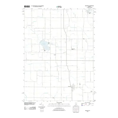
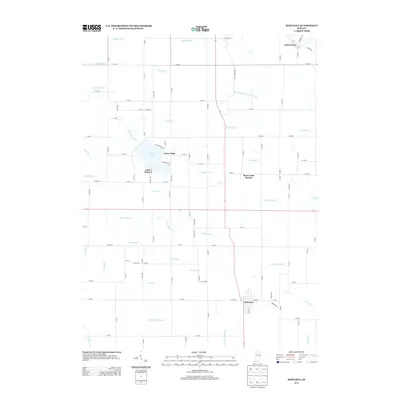
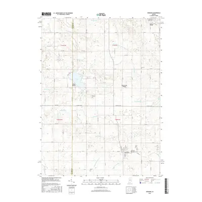
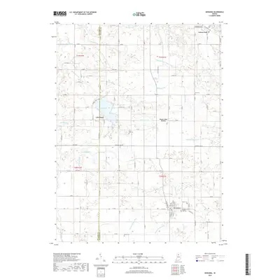
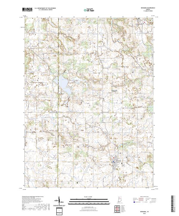
Kewanna and the shoreline of Lake Bruce anchor this survey of the western Fulton County landscape, where the boundary with Pulaski County divides the agricultural plains. The area is defined by an intricate network of drainage systems, including the Troutman Hogan Ditch, Reichard Ditch, and Slick Ditch, which underscore the engineering required to manage this low-lying terrain. These waterways converge near the small settlements of Bruce Lake Station and Leiters Ford, reflecting a rural economy deeply tied to the land's hydrology.
Find a feature on this map
74 named features on this map. Tap any name to fly to it.
Don’t see what you’re looking for? This feature index may not catch every label — zoom into the map to look around manually.
Map Details
Editions of this 2022 Kewanna Map
This is the sole edition of this map. No revisions or reprints were ever made.
Historical Maps of Kewanna Through Time
6 maps found