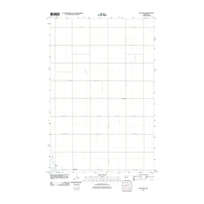
2010 Map of Key West
USGS Topo · Published 2010About this map
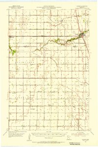
Nesbit Cemetery and the meandering path of Grand Marais Creek define the southwestern corner of this Polk County landscape. In the early 21st century, this section of the Red River Valley maintains its character through a structured grid of rural infrastructure, including County Hwy-65 and County Hwy-17. The small settlements of Key West and Davidson are anchored at key road junctions, reflecting the enduring agricultural layout of the region. This map provides a clear record of land divisions and property access through its detailed network of local routes like 150th St SW and 340th Ave SW, which facilitate movement across the level terrain of northern Minnesota.
Find a feature on this map
13 named features on this map. Tap any name to fly to it.
Don’t see what you’re looking for? This feature index may not catch every label — zoom into the map to look around manually.
Map Details
Editions of this 2010 Key West Map
This is the sole edition of this map. No revisions or reprints were ever made.
Other maps of this area
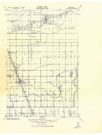
1918 · Angus
USGS Topo · 1:62,500
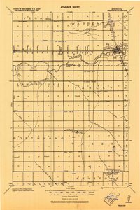
1918 · Warren
USGS Topo · 1:62,500

1952 · Grand Forks
USGS Topo · 1:250,000

1952 · Thief River Falls
USGS Topo · 1:250,000
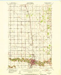
1953 · Crookston
USGS Topo · 1:62,500
1955 · Warren
USGS Topo · 1:62,500

1956 · Thief River Falls
USGS Topo · 1:250,000

1956 · Grand Forks
USGS Topo · 1:250,000

1957 · Thief River Falls
USGS Topo · 1:250,000
1961 · Angus
USGS Topo · 1:24,000