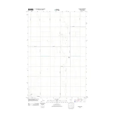
2013 Map of Key West
USGS Topo · Published 2013About this map
The flat agricultural landscape of Polk County is defined by a rigorous grid of section lines and drainage infrastructure. This map highlights the rural settlement of Key West and the neighboring community of Davidson, situated in a region where the land's utility is managed through an extensive network of artificial waterways. The most prominent of these is the County Ditch Number One Hundred Twentysix, which cuts a straight line across the prairie to manage the watershed. Genealogists and local historians can find the Nesbit Cem located in the southwestern portion of the quadrangle, serving as a quiet landmark of the area's early residency. The transportation network is almost entirely composed of straight gravel roads and county highways, such as Co Hwy-60, which follow the township and range lines established by early surveyors.
Find a feature on this map
14 named features on this map. Tap any name to fly to it.
Don’t see what you’re looking for? This feature index may not catch every label — zoom into the map to look around manually.
Map Details
Editions of this 2013 Key West Map
This is the sole edition of this map. No revisions or reprints were ever made.
Other maps of this area

1918 · Angus
USGS Topo · 1:62,500

1918 · Warren
USGS Topo · 1:62,500

1952 · Grand Forks
USGS Topo · 1:250,000

1952 · Thief River Falls
USGS Topo · 1:250,000

1953 · Crookston
USGS Topo · 1:62,500

1955 · Warren
USGS Topo · 1:62,500

1956 · Thief River Falls
USGS Topo · 1:250,000

1956 · Grand Forks
USGS Topo · 1:250,000

1957 · Thief River Falls
USGS Topo · 1:250,000
1961 · Angus
USGS Topo · 1:24,000