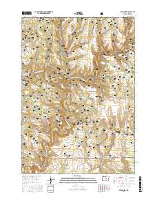
2017 Map of Keys Creek
USGS Topo · Published 2017About this map
Ochoco National Forest defines this high-elevation landscape in Crook County, where a complex network of forest roads and water management features supports the region's ranching and forestry interests. The map documents an intricate system of drainages and seasonal water sources, including the North Fork Crooked River and its various tributaries such as Lame Dog Cr and Buck Hollow Cr. The density of named water features like Cary Reservoir, Bentonite Reservoir, and Twin Springs reflects the critical importance of water rights and storage in this arid portion of central Oregon. Cultural markers are primarily industrial and infrastructural, with an extensive timber-management road network featuring routes like Natl Forest Develop Road 450 Rd and Paulina Valley Rd. Genealogists and local historians can trace family and place names through features like Donnelly Cr and Arvid Nelson Rd, which provide evidence of the area's land-use history.
Find a feature on this map
60 named features on this map. Tap any name to fly to it.
Don’t see what you’re looking for? This feature index may not catch every label — zoom into the map to look around manually.
Map Details
Editions of this 2017 Keys Creek Map
This is the sole edition of this map. No revisions or reprints were ever made.
Other maps of this area

1932 · Dayville
USGS Topo · 1:125,000

1936 · Dayville
USGS Topo · 1:125,000

1955 · Bend
USGS Topo · 1:250,000

1955 · Canyon City
USGS Topo · 1:250,000

1957 · Bend
USGS Topo · 1:250,000

1958 · Bend
USGS Topo · 1:250,000

1959 · Canyon City
USGS Topo · 1:250,000

1965 · Williams Prairie
USGS Topo · 1:24,000

1966 · Keys Creek
USGS Topo · 1:24,000

1966 · Peterson Point
USGS Topo · 1:24,000