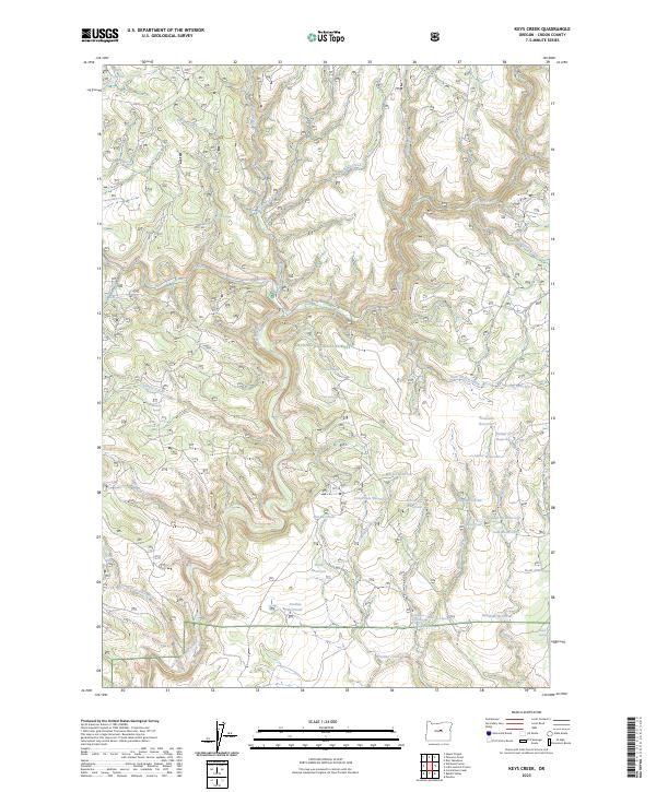
2023 Map of Keys Creek
USGS Topo · Published 2023About this map
Ochoco National Forest defines this high-desert landscape in Crook County, dominated by an extensive network of drainages and small-scale water management features. The area is characterized by numerous seasonal and perennial flows, including the namesake Keys Creek, Stupid Creek, and Lame Dog Creek. Water storage is a prominent theme of the topography, with an array of catchments such as Gary Reservoir, Amber Reservoir, and Indian Creek Reservoir 6 dotting the drainages. These smaller reservoirs and springs like Donnelly Spring and Butler Spring indicate a landscape managed for livestock or fire suppression within the national forest boundaries.
Find a feature on this map
48 named features on this map. Tap any name to fly to it.
Don’t see what you’re looking for? This feature index may not catch every label — zoom into the map to look around manually.
Map Details
Editions of this 2023 Keys Creek Map
This is the sole edition of this map. No revisions or reprints were ever made.
Other maps of this area

1932 · Dayville
USGS Topo · 1:125,000

1936 · Dayville
USGS Topo · 1:125,000

1955 · Bend
USGS Topo · 1:250,000

1955 · Canyon City
USGS Topo · 1:250,000

1957 · Bend
USGS Topo · 1:250,000

1958 · Bend
USGS Topo · 1:250,000

1959 · Canyon City
USGS Topo · 1:250,000

1965 · Williams Prairie
USGS Topo · 1:24,000

1966 · Keys Creek
USGS Topo · 1:24,000

1966 · Peterson Point
USGS Topo · 1:24,000