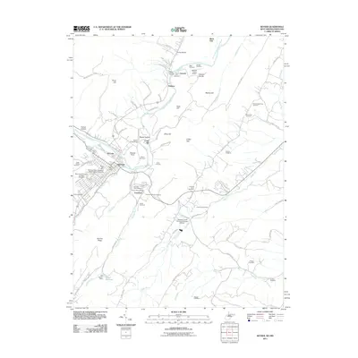
2011 Map of Keyser
USGS Topo · Published 2011About this map
Keyser serves as a significant regional hub along the North Branch Potomac River, where the presence of the Potomac State College of West Virginia University and the Keyser Post Office anchor the town's civic life. The surrounding landscape is defined by the steep topography of Fort Hill and Queens Point, overlooking the winding river valley. Across the water, the community of McCoole sits on the Maryland side, connected by the historical rail crossing at Twenty First Bridge.
Find a feature on this map
100 named features on this map. Tap any name to fly to it.
Don’t see what you’re looking for? This feature index may not catch every label — zoom into the map to look around manually.
Map Details
Editions of this 2011 Keyser Map
This is the sole edition of this map. No revisions or reprints were ever made.
Other maps of this area

1891 · Romney
USGS Topo · 1:125,000

1895 · Piedmont
USGS Topo · 1:125,000

1898 · Frostburg
USGS Topo · 1:62,500

1899 · Grantsville
USGS Topo · 1:62,500

1901 · Frostburg
USGS Topo · 1:62,500

1904 · Grantsville
USGS Topo · 1:62,500

1908 · Frostburg
USGS Topo · 1:62,500

1919 · Elk Garden
USGS Topo · 1:48,000

1920 · Elk Garden
USGS Topo · 1:48,000

1920 · Keyser
USGS Topo · 1:62,500