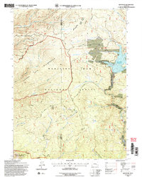
1992 Map of Keystone
USGS Topo · Published 1996About this map
Medicine Bow National Forest dominates this mountain landscape along the border of Carbon and Albany counties. The area is defined by its history of resource extraction, particularly centered around the small settlements of Keystone and Holmes. A high concentration of mining activity is evident, including the Rambler Mine, Golden Key Mine, and Keystone Mine, highlighting a legacy of lode mining in the Medicine Bow range. The terrain is marked by significant hydrological features, most notably the Rob Roy Reservoir and the headwaters of the North Fork Platte River. The mapping of the Savage Run Wilderness and Platte River Wilderness boundaries underscores a mid-century shift toward land conservation and managed recreation. Industrial remains such as a Gravel Pit and various routes labeled Abandoned offer further evidence of the region's evolving infrastructure.
Find a feature on this map
42 named features on this map. Tap any name to fly to it.
Don’t see what you’re looking for? This feature index may not catch every label — zoom into the map to look around manually.
Map Details
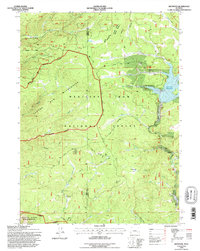
Editions of this 1992 Keystone Map
2 editions found
Other maps of this area

1906 · Medicine Bow
USGS Topo · 1:125,000

1908 · Medicine Bow
USGS Topo · 1:125,000

1954 · Rawlins
USGS Topo · 1:250,000

1958 · Rawlins
USGS Topo · 1:250,000
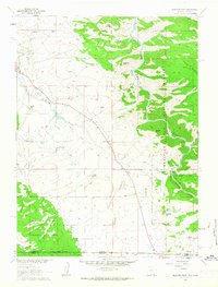
1961 · Elkhorn Point
USGS Topo · 1:24,000

1961 · Overlook Hill
USGS Topo · 1:24,000
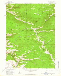
1961 · Horatio Rock
USGS Topo · 1:24,000

1961 · Medicine Bow Peak
USGS Topo · 1:24,000
1961 · Foxpark
USGS Topo · 1:24,000
1961 · Phantom Lake
USGS Topo · 1:24,000