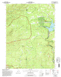
1992 Map of Keystone
USGS Topo · Published 1996About this map
Medicine Bow National Forest dominates this high-altitude landscape in southern Wyoming, where timber and mining operations have historically intersected with protected wilderness. Small settlements like Keystone and Holmes serve as anchors for the region's history, alongside the seasonal hub of Rob Roy. The topography is defined by the massive drainage systems of Douglas Creek and the South Platte River, which are flanked by the protected bounds of the Savage Run Wilderness and Platte River Wilderness.
Find a feature on this map
48 named features on this map. Tap any name to fly to it.
Don’t see what you’re looking for? This feature index may not catch every label — zoom into the map to look around manually.
Map Details
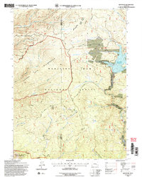
Editions of this 1992 Keystone Map
2 editions found
Other maps of this area

1906 · Medicine Bow
USGS Topo · 1:125,000

1908 · Medicine Bow
USGS Topo · 1:125,000

1954 · Rawlins
USGS Topo · 1:250,000

1958 · Rawlins
USGS Topo · 1:250,000
1961 · Elkhorn Point
USGS Topo · 1:24,000

1961 · Overlook Hill
USGS Topo · 1:24,000
1961 · Horatio Rock
USGS Topo · 1:24,000

1961 · Medicine Bow Peak
USGS Topo · 1:24,000
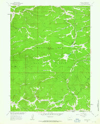
1961 · Foxpark
USGS Topo · 1:24,000
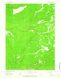
1961 · Phantom Lake
USGS Topo · 1:24,000