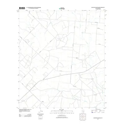
2012 Map of Keystone Ranch
USGS Topo · Published 2012About this map
Keystone Ranch serves as the central landmark for this section of Frio County, where a network of county roads like Cox Rd and Malone Rd navigate a landscape defined by intermittent watercourses. The drainage patterns of San Miguel Cr, Black Cr, and Cat Cr illustrate the arid character of the South Texas brush country, with water concentrated at sites like Howard Lake.
Find a feature on this map
29 named features on this map. Tap any name to fly to it.
Don’t see what you’re looking for? This feature index may not catch every label — zoom into the map to look around manually.
Map Details
Editions of this 2012 Keystone Ranch Map
This is the sole edition of this map. No revisions or reprints were ever made.
Other maps of this area

1927 · Pearsall
USGS Topo · 1:62,500

1934 · Schattel
USGS Topo · 1:62,500

1942 · Dilley
USGS Topo · 1:62,500

1953 · Crystal City
USGS Topo · 1:250,000

1955 · Crystal City
USGS Topo · 1:250,000

1956 · Hindes
USGS Topo · 1:62,500

1961 · Crystal City
USGS Topo · 1:250,000

1964 · Pearsall South
USGS Topo · 1:24,000
1964 · Pearsall North
USGS Topo · 1:24,000

1968 · Crystal City
USGS Topo · 1:250,000