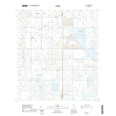
2018 Map of Keysville
USGS Topo · Published 2018About this map
Keysville and the neighboring settlements of Edison and Welcome anchor this landscape along the border of Hillsborough and Polk Counties. The area is defined by the intricate hydrology of the S Prong Alafia River and its numerous tributaries, including Thirtymile Cr, Mizelle Cr, and the W Br S Prong Alafia River. These watercourses dictate the layout of rural roads like Keysville Dr and Edison Rd, which navigate around extensive wetland systems and agricultural tracts. For those tracing local history or family roots, the presence of Blue Cem and Hunter Cem provides specific points of interest. Large-scale land use is evident in the geometric patterns of drainage and reservoirs near the S Prong Alafia River, reflecting the region's managed water systems and industrial footprints during the early 21st century.
Find a feature on this map
51 named features on this map. Tap any name to fly to it.
Don’t see what you’re looking for? This feature index may not catch every label — zoom into the map to look around manually.
Map Details
Editions of this 2018 Keysville Map
This is the sole edition of this map. No revisions or reprints were ever made.
Other maps of this area

1949 · Mulberry
USGS Topo · 1:24,000

1949 · Bradley Junction
USGS Topo · 1:24,000

1950 · Mulberry
USGS Topo · 1:24,000

1950 · Bradley Junction
USGS Topo · 1:24,000

1955 · Lithia
USGS Topo · 1:24,000

1955 · Nichols
USGS Topo · 1:24,000

1955 · Dover
USGS Topo · 1:24,000

1955 · Baird
USGS Topo · 1:24,000

1955 · Keysville
USGS Topo · 1:24,000

1956 · Ft Lonesome
USGS Topo · 1:24,000