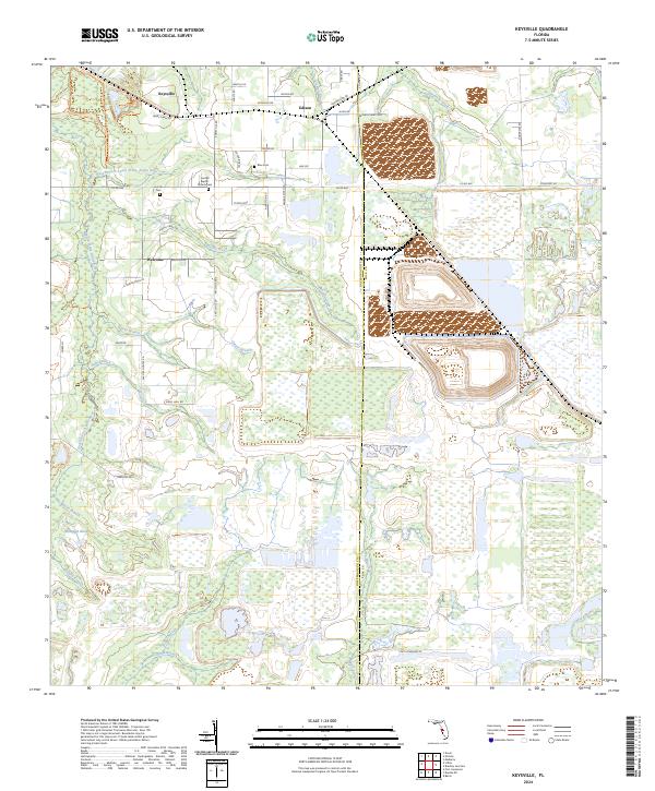
2024 Map of Keysville
USGS Topo · Published 2024About this map
Keysville and Edison anchor this landscape along the Hillsborough Co Polk Co line, where the headwaters of the Alafia River system dominate the terrain. Significant watercourse features including the West Branch South Prong Alafia River and Thirtymile Creek wind through the region, supporting the conservation lands of the Alafia River State Park.
Find a feature on this map
54 named features on this map. Tap any name to fly to it.
Don’t see what you’re looking for? This feature index may not catch every label — zoom into the map to look around manually.
Map Details
Editions of this 2024 Keysville Map
This is the sole edition of this map. No revisions or reprints were ever made.
Other maps of this area
1949 · Mulberry
USGS Topo · 1:24,000
1949 · Bradley Junction
USGS Topo · 1:24,000
1950 · Mulberry
USGS Topo · 1:24,000
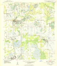
1950 · Bradley Junction
USGS Topo · 1:24,000
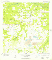
1955 · Lithia
USGS Topo · 1:24,000
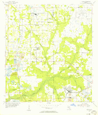
1955 · Nichols
USGS Topo · 1:24,000
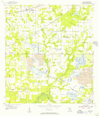
1955 · Dover
USGS Topo · 1:24,000
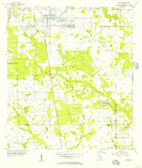
1955 · Baird
USGS Topo · 1:24,000
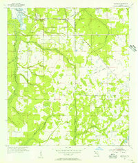
1955 · Keysville
USGS Topo · 1:24,000
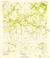
1956 · Ft Lonesome
USGS Topo · 1:24,000