
1910 Map of Kezar Falls
USGS Topo · Published 1910About this map
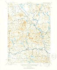
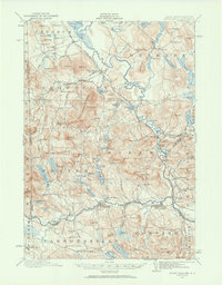
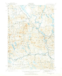
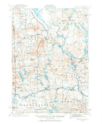
The Saco River and its major tributary, the Ossipee River, define the landscape of this region during the first decade of the 20th century. At the confluence of these waterways and along the Maine Central railroad, industrial and academic hubs such as Kezar Falls and the Parsonsfield Seminary anchor the local community. The map reveals a transition between concentrated village life and a rural network of crossroads and family-named landmarks like Merrill Corner and Heads Corner.
Find a feature on this map
89 named features on this map. Tap any name to fly to it.
Don’t see what you’re looking for? This feature index may not catch every label — zoom into the map to look around manually.
Map Details
Editions of this 1910 Kezar Falls Map
5 editions found
Other maps of this area

1891 · Buxton
USGS Topo · 1:62,500

1891 · Newfield
USGS Topo · 1:62,500

1892 · Buxton
USGS Topo · 1:62,500

1893 · Buxton
USGS Topo · 1:62,500

1893 · Newfield
USGS Topo · 1:62,500

1894 · North Conway
USGS Topo · 1:62,500

1896 · Norway
USGS Topo · 1:62,500

1896 · Sebago
USGS Topo · 1:62,500

1896 · North Conway
USGS Topo · 1:62,500

1909 · Fryeburg
USGS Topo · 1:62,500