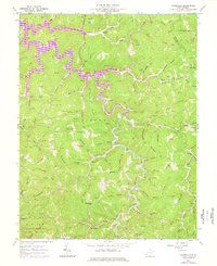
1962 Map of Kiahsville
USGS Topo · Published 1977About this map
The rugged boundary between Wayne and Lincoln counties is defined here by the winding headwaters of Beech Fork and the intricate branching of Cove Creek. This 1960s landscape, updated in the mid-1970s, reveals a rural economy deeply tied to the land, where the hollows are dotted with numerous Gas Wells and small-scale Mines. The settlement pattern follows the narrow valleys, with Kiahsville and Cove Gap serving as local hubs.
Find a feature on this map
90 named features on this map. Tap any name to fly to it.
Don’t see what you’re looking for? This feature index may not catch every label — zoom into the map to look around manually.
Map Details
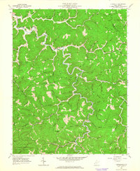
Editions of this 1962 Kiahsville Map
2 editions found
Other maps of this area

1887 · Warfield
USGS Topo · 1:125,000

1891 · Warfield
USGS Topo · 1:125,000

1892 · Huntington
USGS Topo · 1:125,000

1898 · Huntington
USGS Topo · 1:125,000

1902 · Midkiff
USGS Topo · 1:62,500

1907 · Midkiff
USGS Topo · 1:62,500

1909 · Wayne
USGS Topo · 1:62,500

1909 · Midkiff
USGS Topo · 1:62,500

1910 · Holden
USGS Topo · 1:48,000

1910 · Naugatuck
USGS Topo · 1:48,000