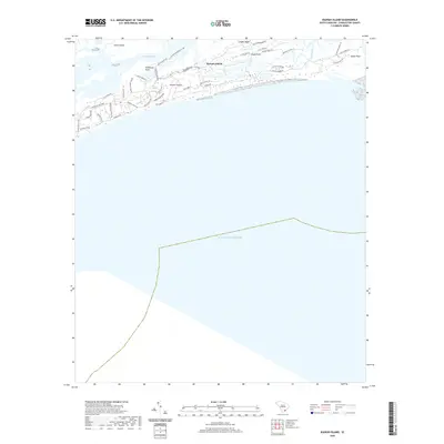
2020 Map of Kiawah Island
USGS Topo · Published 2020About this map
Kiawah Island is defined by its intricate network of maritime forests and tidal waterways, where the Kiawah River and Bass Creek separate the barrier island from the larger Johns Island landmass. This 2020 survey illustrates a modern landscape of planned coastal development, evidenced by names like Ocean Course Dr and Kiawah Island Club Dr. Historic place names such as Shullbred Point and Captain Maynards Island provide a connection to the area's older geography, even as residential growth extends toward the eastern tip at Sandy Point. The map provides detailed tracking of the island's many access points and local thoroughfares, including Governors Dr and Flyway Dr, showing how the modern community is woven into the natural inlets of Cinder Cr and the marshlands surrounding Eagle Point.
Find a feature on this map
43 named features on this map. Tap any name to fly to it.
Don’t see what you’re looking for? This feature index may not catch every label — zoom into the map to look around manually.
Map Details
Editions of this 2020 Kiawah Island Map
This is the sole edition of this map. No revisions or reprints were ever made.
Other maps of this area

1918 · Kiawah Island
USGS Topo · 1:21,120

1919 · Wadmelaw Island
USGS Topo · 1:62,500

1919 · James Island
USGS Topo · 1:21,120

1919 · Legareville
USGS Topo · 1:21,120

1943 · Legareville
USGS Topo · 1:24,000

1943 · James Island
USGS Topo · 1:24,000

1943 · Kiawah Island
USGS Topo · 1:24,000

1944 · Wadmelaw Island
USGS Topo · 1:62,500

1947 · Savannah
USGS Topo · 1:250,000

1948 · James Island
USGS Topo · 1:250,000