
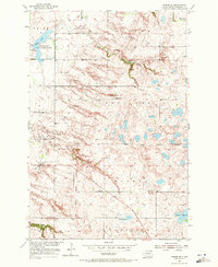
1954 Map of Kidder SE
USGS Topo · Published 1955About this map
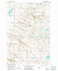
The Old Fort Sisseton Military Reservation Boundary cuts across this Marshall County landscape, marking the historic limits of the 19th-century frontier outpost. This mid-1950s survey captures a rural landscape characterized by a network of drainage features and small-scale gravel operations. In the northwest, the White Lake State Game Refuge encompasses the waters of White Lake, while the eastern portion of the map is defined by the marshy reaches of Stink Slough and Black Slough.
Find a feature on this map
22 named features on this map. Tap any name to fly to it.
Don’t see what you’re looking for? This feature index may not catch every label — zoom into the map to look around manually.
Map Details
Editions of this 1954 Kidder SE Map
3 editions found
Other maps of this area

1953 · Britton East
USGS Topo · 1:24,000

1953 · Kidder
USGS Topo · 1:24,000

1953 · Milbank
USGS Topo · 1:250,000

1956 · Havana
USGS Topo · 1:24,000

1958 · Milbank
USGS Topo · 1:250,000

1958 · Britton 4 NW
USGS Topo · 1:24,000

1958 · Hillhead
USGS Topo · 1:24,000

1958 · Marlow
USGS Topo · 1:24,000

1970 · Britton 4 NE
USGS Topo · 1:24,000

1970 · Lake City
USGS Topo · 1:24,000