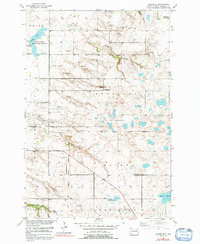
1954 Map of Kidder SE
USGS Topo · Published 1992About this map
The Old Fort Sisseton Military Reservation Boundary cuts across the center of this Marshall County landscape, marking the historic frontier of northern South Dakota. Surveyed during the mid-1950s, the terrain reveals a transition from the highlands of the Coteau des Prairies down toward the glacial plains. To the northwest, the White Lake State Game Refuge encompasses White Lake, while numerous sloughs and gulches like Stink Slough, Black Slough, and Marble Gulch drain the surrounding prairie. This era captures a shifting educational landscape as rural districts consolidated; the map identifies several local schoolhouses including School No 1 (Abandoned) and School No 2 (Abandoned). The presence of scattered Gravel Pits and the winding course of Wild Rice Creek illustrate the intersection of local geology and early infrastructure in townships such as Wismer and Hamilton.
Find a feature on this map
22 named features on this map. Tap any name to fly to it.
Don’t see what you’re looking for? This feature index may not catch every label — zoom into the map to look around manually.
Map Details
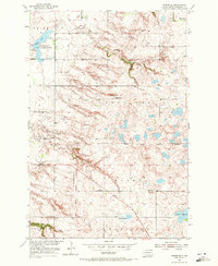
Editions of this 1954 Kidder SE Map
3 editions found
Other maps of this area

1953 · Britton East
USGS Topo · 1:24,000

1953 · Kidder
USGS Topo · 1:24,000

1953 · Milbank
USGS Topo · 1:250,000

1954 · Kidder SE
USGS Topo · 1:24,000

1956 · Havana
USGS Topo · 1:24,000

1958 · Milbank
USGS Topo · 1:250,000

1958 · Britton 4 NW
USGS Topo · 1:24,000

1958 · Hillhead
USGS Topo · 1:24,000

1958 · Marlow
USGS Topo · 1:24,000

1970 · Britton 4 NE
USGS Topo · 1:24,000