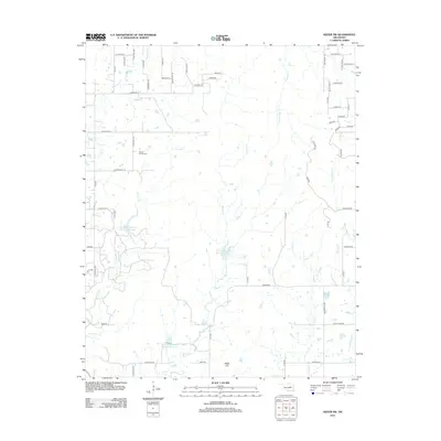
2012 Map of Kiefer SW
USGS Topo · Published 2012About this map
Sewell Family Cem serves as a quiet genealogical anchor in this rural portion of Creek County, situated near the headwaters of Turkey Cr. The landscape is defined by a dense network of tributaries including Euchee Cr, Browns Cr, and Checkerboard Cr, which drain the rolling terrain southwest of Mounds. A significant mid-century water management system is evident through the series of flood control structures along the Little Deep Fork Cr, specifically Little Deep Fork Cr Site 51 Reservoir, Site 52, and Site 54. The southern portion of the quadrangle is marked by Osage Hill, while the residential geography is reflected in a grid of section line roads and named drives like Canyon Dr and Fawn Pwy, showing the gradual transition of traditional ranch land into large-lot rural development.
Find a feature on this map
59 named features on this map. Tap any name to fly to it.
Don’t see what you’re looking for? This feature index may not catch every label — zoom into the map to look around manually.
Map Details
Editions of this 2012 Kiefer SW Map
This is the sole edition of this map. No revisions or reprints were ever made.
Other maps of this area

1901 · Nuyaka
USGS Topo · 1:125,000

1914 · Kiefer
USGS Topo · 1:62,500

1916 · Kiefer
USGS Topo · 1:62,500

1916 · Bristow
USGS Topo · 1:62,500

1954 · Oklahoma City
USGS Topo · 1:250,000

1957 · Oklahoma City
USGS Topo · 1:250,000
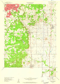
1958 · Sapulpa South
USGS Topo · 1:24,000

1963 · Oklahoma City
USGS Topo · 1:250,000
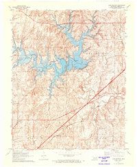
1971 · Lake Heyburn
USGS Topo · 1:24,000
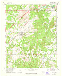
1972 · Kellyville
USGS Topo · 1:24,000