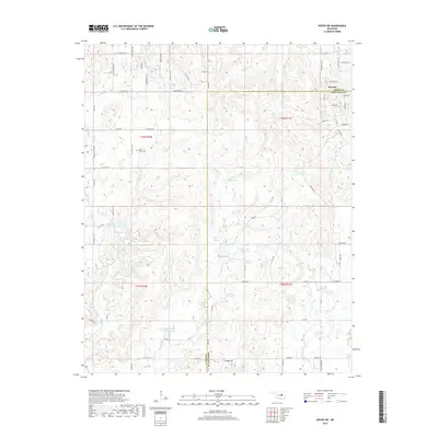
2018 Map of Kiefer SW
USGS Topo · Published 2018About this map
Mounds sits at the northeastern corner of this landscape, marking the transition between the rolling uplands and the drainage networks of the Creek and Okmulgee county line. The terrain is defined by a dense system of seasonal waterways and modern flood control structures, including Little Deep Fork Cr Site 51r Reservoir and Little Deep Fork Cr Site 52 Reservoir. These reservoirs are part of a larger hydraulic pattern involving numerous numbered sites like 111014 Reservoir and 111005 Reservoir, which manage the flow of Browns Cr and Euchee Cr.
Find a feature on this map
73 named features on this map. Tap any name to fly to it.
Don’t see what you’re looking for? This feature index may not catch every label — zoom into the map to look around manually.
Map Details
Editions of this 2018 Kiefer SW Map
This is the sole edition of this map. No revisions or reprints were ever made.
Other maps of this area

1901 · Nuyaka
USGS Topo · 1:125,000

1914 · Kiefer
USGS Topo · 1:62,500

1916 · Kiefer
USGS Topo · 1:62,500

1916 · Bristow
USGS Topo · 1:62,500

1954 · Oklahoma City
USGS Topo · 1:250,000

1957 · Oklahoma City
USGS Topo · 1:250,000
1958 · Sapulpa South
USGS Topo · 1:24,000

1963 · Oklahoma City
USGS Topo · 1:250,000
1971 · Lake Heyburn
USGS Topo · 1:24,000
1972 · Kellyville
USGS Topo · 1:24,000