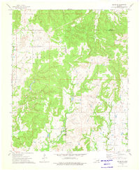
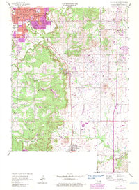
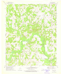
1973 Map of Kiefer SW
USGS Topo · Published 1976This historical map portrays the area of Kiefer SW in 1973, primarily covering Creek County as well as portions of Okmulgee County. Featuring a scale of 1:24000, this map provides a highly detailed snapshot of the terrain, roads, buildings, counties, and historical landmarks in the Kiefer SW region at the time. Published in 1976, it is the sole known edition of this map.
Find a feature on this map
17 named features on this map. Tap any name to fly to it.
Don’t see what you’re looking for? This feature index may not catch every label — zoom into the map to look around manually.
Map Details
Editions of this 1973 Kiefer SW Map
This is the sole edition of this map. No revisions or reprints were ever made.
Historical Maps of Okmulgee County Through Time
11 maps found
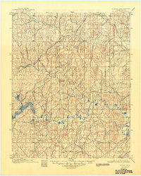
1901 Nuyaka
Creek County, OK
1956 Sapulpa North
Creek County, OK
1958 Mannford SE
Creek County, OK
1958 Sapulpa South
Creek County, OK
1959 Lake Sahoma
Creek County, OK
1971 Bellvue
Creek County, OK
1971 Lake Heyburn
Creek County, OK
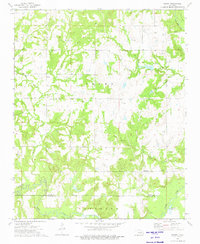
1973 Gypsy
Creek County, OK
1973 Kiefer SW
Creek County, OK
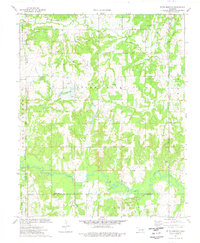
1973 Newby
Creek County, OK
1974 Ritts Junction
Creek County, OK