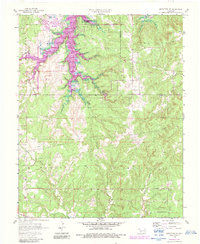
1958 Map of Mannford SE
USGS Topo · Published 1983About this map
Mannford Twp Oil and Gas Field dominates the northwest corner of this landscape, where numerous Oil Wells and a network of pipelines trace the region's industrial heritage. The topography is defined by the encroaching waters of Keystone Lake in the north and the deep incisions of Salt Creek, which creates a complex pattern of drainage through the hills of Creek Co and Tulsa Co. Revisions from 1981, marked in purple, illustrate the growth of the Mannford corporate boundary and expansion of residential streets as the community adapted to the local shoreline. To the south, the landscape transitions to a more rural character, marked by quiet locations like Dripping Springs Ch and the winding course of Tiger Creek near the southern boundary.
Find a feature on this map
13 named features on this map. Tap any name to fly to it.
Don’t see what you’re looking for? This feature index may not catch every label — zoom into the map to look around manually.
Map Details
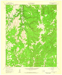
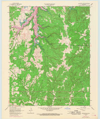
Editions of this 1958 Mannford SE Map
3 editions found
Other maps of this area

1901 · Nuyaka
USGS Topo · 1:125,000

1912 · Hominy
USGS Topo · 1:125,000

1914 · Kiefer
USGS Topo · 1:62,500

1915 · Hominy
USGS Topo · 1:125,000

1916 · Kiefer
USGS Topo · 1:62,500

1916 · Bristow
USGS Topo · 1:62,500

1954 · Oklahoma City
USGS Topo · 1:250,000

1955 · Enid
USGS Topo · 1:250,000

1957 · Oklahoma City
USGS Topo · 1:250,000

1958 · Enid
USGS Topo · 1:250,000