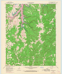
1958 Map of Mannford SE
USGS Topo · Published 1968About this map
New Mannford and the surrounding Creek County landscape are captured during a period of transition as the Keystone Reservoir began to alter the regional geography. The map reveals a land heavily defined by the energy industry, with an extensive Oil and Gas Field and numerous Oil Wells scattered across the northern and southern sectors. This industrial footprint is underscored by a network of Pipelines traversing the hills of Red Fork. In the more rural southern sections, the community of Hazelup and landmarks such as Dripping Springs Ch offer touchpoints for local genealogy. The presence of Radio Towers (KRMG) near the Tulsa and Creek County line marks the modernization of the era, while the winding paths of Salt Creek and Tiger Creek show the original drainage patterns before the reservoir's full impact.
Find a feature on this map
18 named features on this map. Tap any name to fly to it.
Don’t see what you’re looking for? This feature index may not catch every label — zoom into the map to look around manually.
Map Details
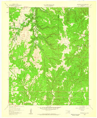
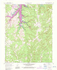
Editions of this 1958 Mannford SE Map
3 editions found
Other maps of this area

1901 · Nuyaka
USGS Topo · 1:125,000

1912 · Hominy
USGS Topo · 1:125,000

1914 · Kiefer
USGS Topo · 1:62,500

1915 · Hominy
USGS Topo · 1:125,000

1916 · Kiefer
USGS Topo · 1:62,500

1916 · Bristow
USGS Topo · 1:62,500

1954 · Oklahoma City
USGS Topo · 1:250,000

1955 · Enid
USGS Topo · 1:250,000

1957 · Oklahoma City
USGS Topo · 1:250,000

1958 · Enid
USGS Topo · 1:250,000