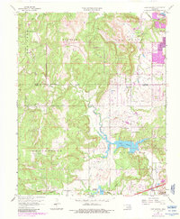
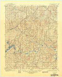
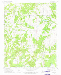
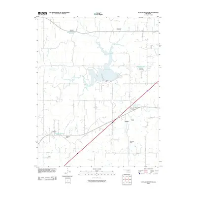
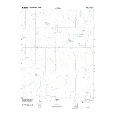
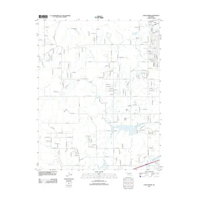
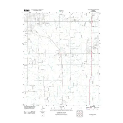
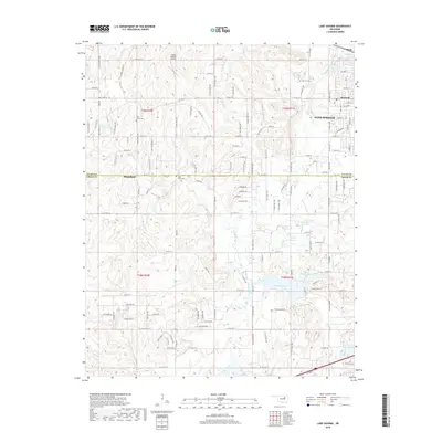
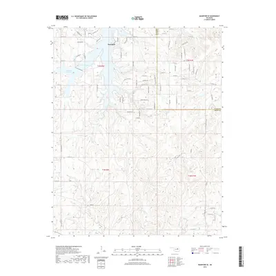
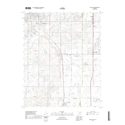
1959 Map of Lake Sahoma
USGS Topo · Published 1983About this map
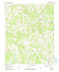
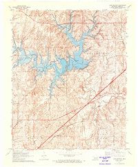
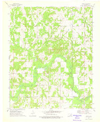
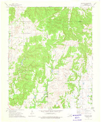
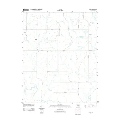
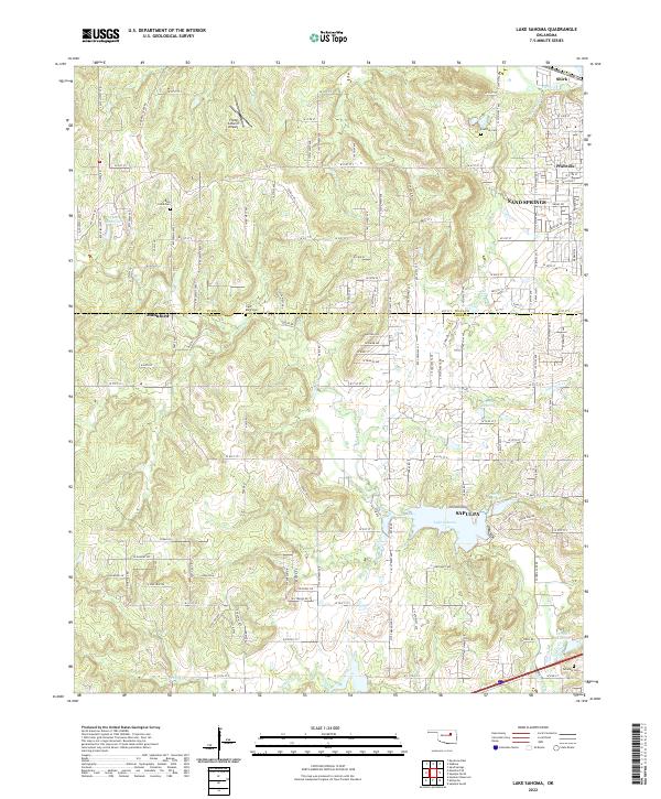
Lake Sahoma and the Sapulpa Reservoir dominate the central landscape of this Creek County survey, which provides a detailed look at the rural and developing areas between Sand Springs and Sapulpa. The map reveals a land heavily utilized by the energy industry, with extensive oil fields and pipelines crisscrossing the terrain. Evidence of community life is found in the distribution of local institutions like the Pretty Water School and its namesake Pretty Water Church, alongside several other country churches including Cedar Grove Ch and Rock Creek Ch.
Find a feature on this map
27 named features on this map. Tap any name to fly to it.
Don’t see what you’re looking for? This feature index may not catch every label — zoom into the map to look around manually.
Map Details
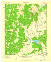
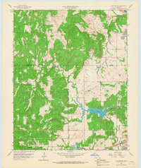
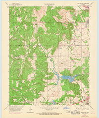
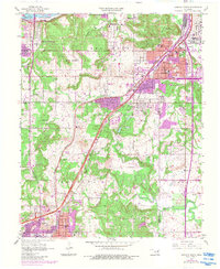
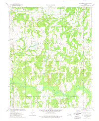
Editions of this 1959 Lake Sahoma Map
4 editions found
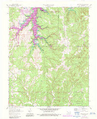
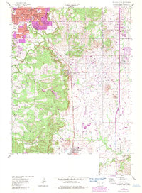
Historical Maps of Sapulpa Through Time
61 maps found
1901 Nuyaka
Creek County, OK
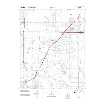
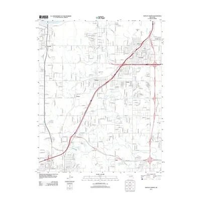
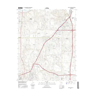
1956 Sapulpa North
Creek County, OK
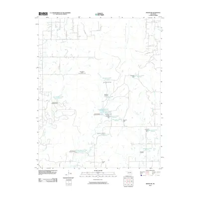
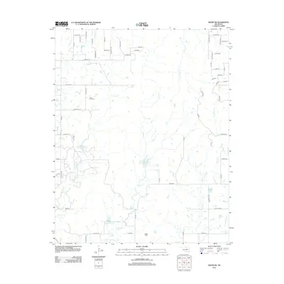
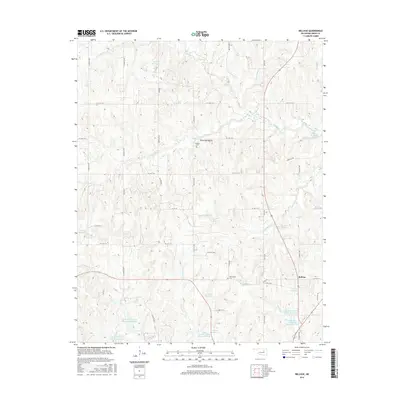
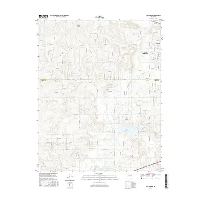
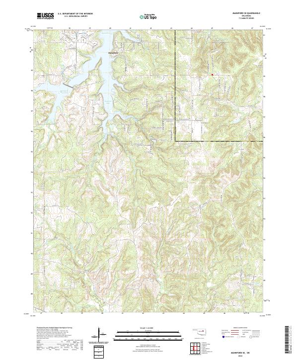
1958 Mannford SE
Creek County, OK
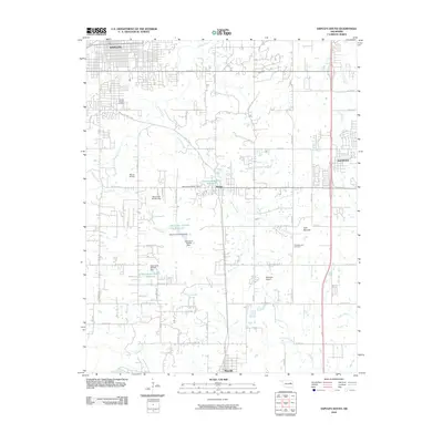
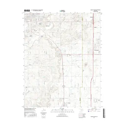
1958 Sapulpa South
Creek County, OK
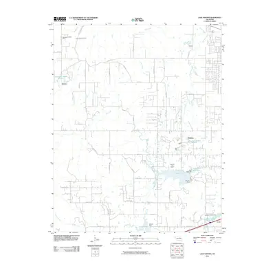
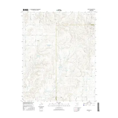
1959 Lake Sahoma
Creek County, OK
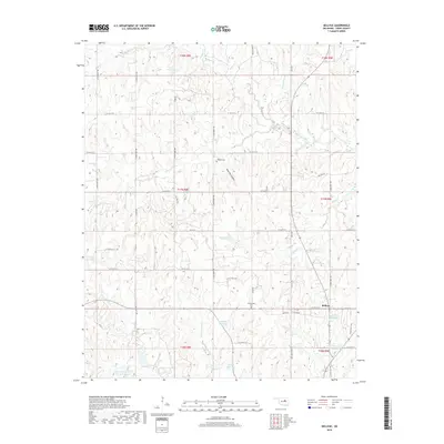
1971 Bellvue
Creek County, OK
1971 Lake Heyburn
Creek County, OK
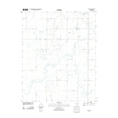
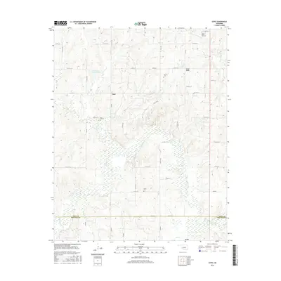
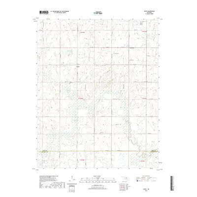
1973 Gypsy
Creek County, OK
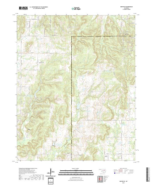
1973 Kiefer SW
Creek County, OK
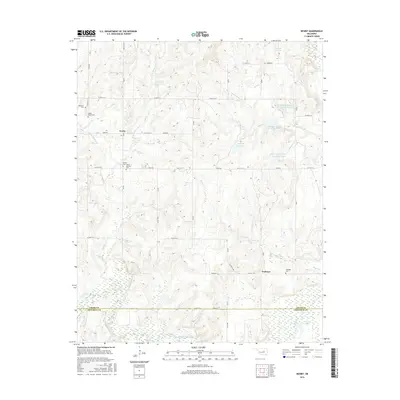
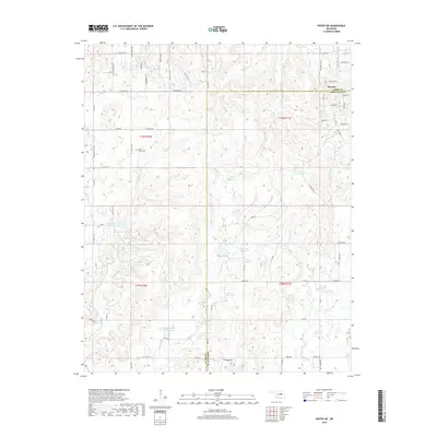
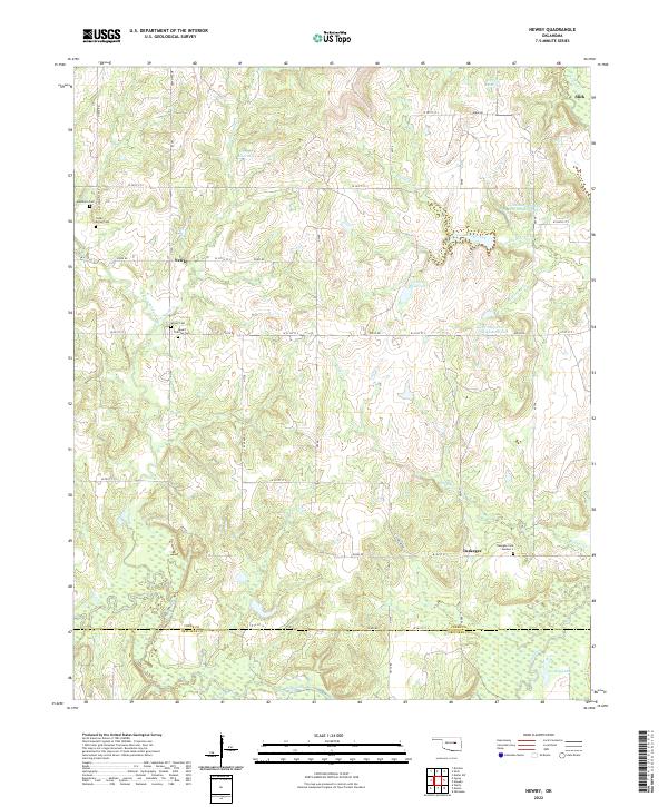
1973 Newby
Creek County, OK
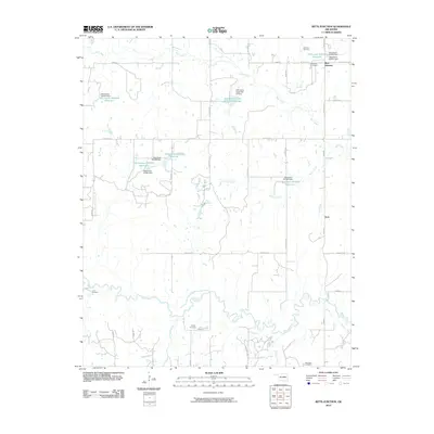
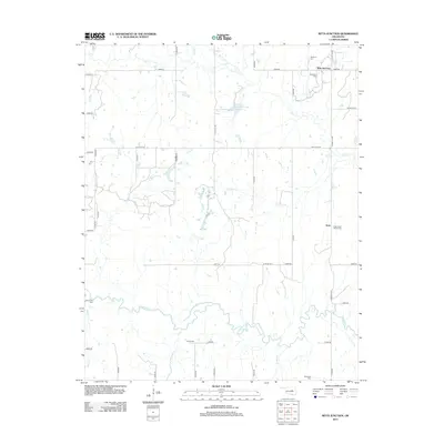
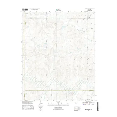
1974 Ritts Junction
Creek County, OK
2009 Bellvue
Creek County, OK
2010 Gypsy
Creek County, OK
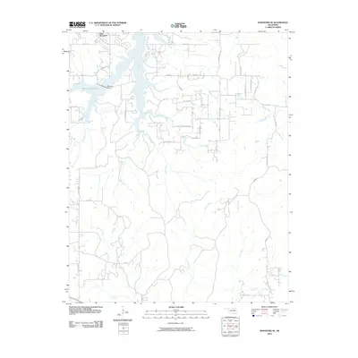
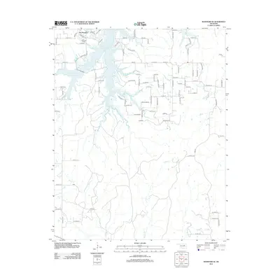
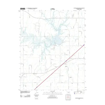
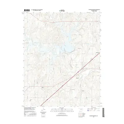
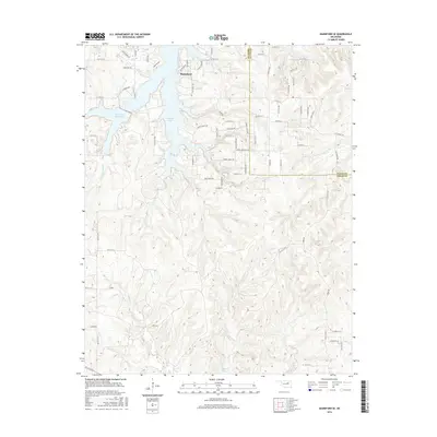
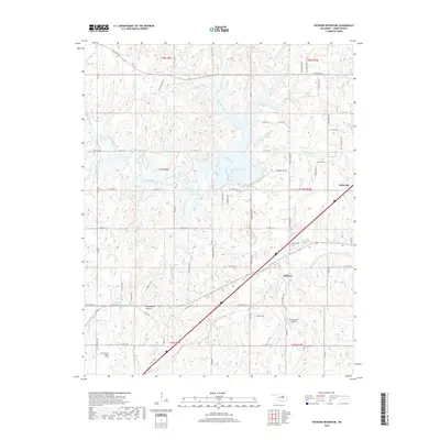
2010 Heyburn Reservoir
Creek County, OK
2010 Kiefer SW
Creek County, OK
2010 Lake Sahoma
Creek County, OK
2010 Mannford SE
Creek County, OK
2010 Newby
Creek County, OK
2010 Ritts Junction
Creek County, OK
2010 Sapulpa North
Creek County, OK
2010 Sapulpa South
Creek County, OK

2012 Bellvue
Creek County, OK
2012 Gypsy
Creek County, OK
2012 Kiefer SW
Creek County, OK
2012 Lake Sahoma
Creek County, OK
2012 Mannford SE
Creek County, OK
2012 Newby
Creek County, OK
2012 Ritts Junction
Creek County, OK
2012 Sapulpa North
Creek County, OK
2013 Heyburn Reservoir
Creek County, OK
2013 Sapulpa South
Creek County, OK
2016 Bellvue
Creek County, OK
2016 Gypsy
Creek County, OK
2016 Heyburn Reservoir
Creek County, OK
2016 Kiefer SW
Creek County, OK
2016 Lake Sahoma
Creek County, OK
2016 Mannford SE
Creek County, OK
2016 Newby
Creek County, OK
2016 Ritts Junction
Creek County, OK
2016 Sapulpa North
Creek County, OK
2016 Sapulpa South
Creek County, OK
2018 Bellvue
Creek County, OK
2018 Gypsy
Creek County, OK
2018 Heyburn Reservoir
Creek County, OK
2018 Kiefer SW
Creek County, OK
2018 Lake Sahoma
Creek County, OK
2018 Mannford SE
Creek County, OK
2018 Newby
Creek County, OK
2018 Ritts Junction
Creek County, OK
2018 Sapulpa North
Creek County, OK
2018 Sapulpa South
Creek County, OK
2022 Bellvue
Creek County, OK
2022 Gypsy
Creek County, OK
2022 Heyburn Reservoir
Creek County, OK
2022 Kiefer SW
Creek County, OK
2022 Lake Sahoma
Creek County, OK
2022 Mannford SE
Creek County, OK
2022 Newby
Creek County, OK
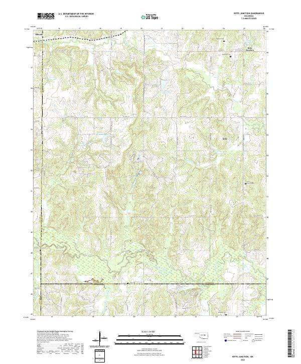
2022 Ritts Junction
Creek County, OK
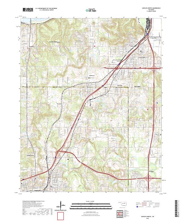
2022 Sapulpa North
Creek County, OK
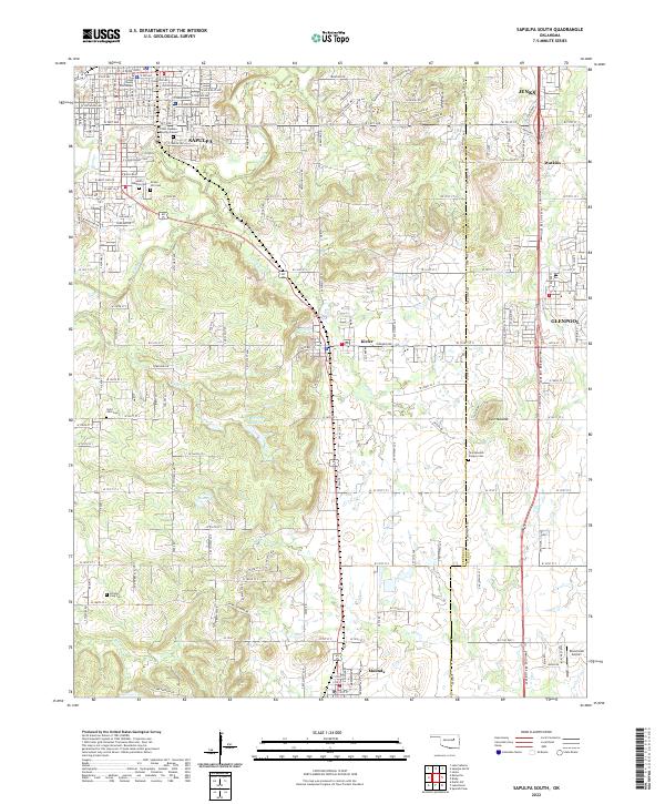
2022 Sapulpa South
Creek County, OK