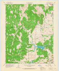
1959 Map of Lake Sahoma
USGS Topo · Published 1967About this map
The Arkansas River bends through the northern edge of this landscape, just above the burgeoning community of Prattville. This late 1950s survey captures a transition in the terrain west of Sapulpa, where the industrial footprint of the Oil Field meets the recreational development of Lake Sahoma and Pretty Water Lake. The rural character of the area is defined by a network of country churches and community centers, including Cedar Grove Ch and Rock Creek Ch.
Find a feature on this map
24 named features on this map. Tap any name to fly to it.
Don’t see what you’re looking for? This feature index may not catch every label — zoom into the map to look around manually.
Map Details
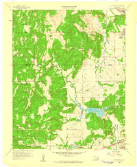
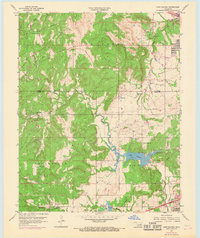
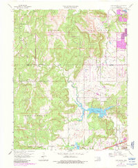
Editions of this 1959 Lake Sahoma Map
4 editions found
Other maps of this area

1901 · Nuyaka
USGS Topo · 1:125,000

1912 · Hominy
USGS Topo · 1:125,000

1914 · Kiefer
USGS Topo · 1:62,500

1915 · Hominy
USGS Topo · 1:125,000

1916 · Kiefer
USGS Topo · 1:62,500

1916 · Bristow
USGS Topo · 1:62,500

1954 · Oklahoma City
USGS Topo · 1:250,000

1955 · Enid
USGS Topo · 1:250,000

1956 · Sand Springs
USGS Topo · 1:24,000

1956 · Sapulpa North
USGS Topo · 1:24,000