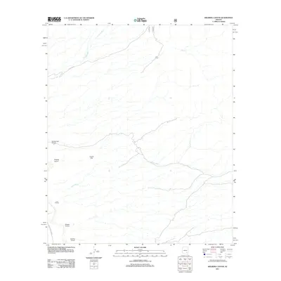
2011 Map of Kielberg Canyon
USGS Topo · Published 2011About this map
Y L E Ranch sits near the head of a complex drainage network in Pima County, where the desert landscape is defined by its seasonal waterways. Arroyos and washes like Cienega Wash and Peters Wash carve through the terrain, illustrating the critical role of water management in this arid environment. Evidence of ranching infrastructure is visible throughout the area, from the YLE Tank to the Lower Windmill, which support livestock in a region where the San Pedro River provides a primary natural boundary.
Find a feature on this map
14 named features on this map. Tap any name to fly to it.
Don’t see what you’re looking for? This feature index may not catch every label — zoom into the map to look around manually.
Map Details
Editions of this 2011 Kielberg Canyon Map
This is the sole edition of this map. No revisions or reprints were ever made.
Other maps of this area

1904 · Tucson
USGS Topo · 1:125,000

1905 · Tucson
USGS Topo · 1:125,000

1911 · Winkelman
USGS Topo · 1:125,000

1913 · Winkelman
USGS Topo · 1:125,000

1938 · Galiuro Mts
USGS Topo · 1:48,000

1943 · Galiuro Mts
USGS Topo · 1:62,500

1945 · Redington
USGS Topo · 1:62,500

1948 · Clark Ranch
USGS Topo · 1:24,000

1948 · Mammoth
USGS Topo · 1:62,500

1948 · Peppersauce Wash
USGS Topo · 1:24,000