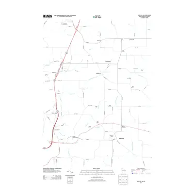
2013 Map of Kieler
USGS Topo · Published 2013About this map
Kieler and the surrounding hamlets of Jamestown, Louisburg, and Fair Play anchor this corner of southwest Wisconsin, where the landscape is defined by the winding drainages of the Menominee River and the Sinsinawa River. A notable topographical landmark, Sinsinawa Mound, rises above the junction of Co HWY-Z and Co HWY-ZZ near the settlement of Sinsinawa. The map illustrates a rural economy deeply rooted in agriculture, with numerous named family holdings such as Dietzel Farms, Thommen Farms, and Kunkel Farms populating the territory between the river valleys.
Find a feature on this map
91 named features on this map. Tap any name to fly to it.
Don’t see what you’re looking for? This feature index may not catch every label — zoom into the map to look around manually.
Map Details
Editions of this 2013 Kieler Map
This is the sole edition of this map. No revisions or reprints were ever made.
Other maps of this area

1900 · Lancaster
USGS Topo · 1:125,000

1901 · Peosta
USGS Topo · 1:125,000

1902 · Mineral Point
USGS Topo · 1:125,000

1904 · Lancaster
USGS Topo · 1:125,000

1908 · Lancaster
USGS Topo · 1:125,000

1911 · Galena
USGS Topo · 1:62,500

1913 · Galena
USGS Topo · 1:62,500

1935 · East Dubuque
USGS Topo · 1:62,500

1940 · East Dubuque
USGS Topo · 1:62,500

1952 · Platteville
USGS Topo · 1:24,000