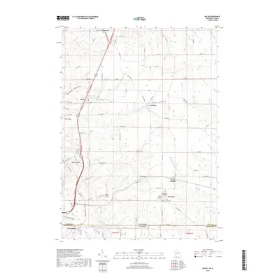
2018 Map of Kieler
USGS Topo · Published 2018About this map
Sinsinawa Mound rises above the rolling agricultural landscape of Grant County, serving as a prominent geographical and spiritual focal point near the southern border of Wisconsin. This area is defined by its deep Catholic heritage, anchored by the community of Sinsinawa and the nearby Saint Clara Cem and Saint Joseph Cem. The settlement pattern follows a network of small villages including Kieler, Louisburg, and Fair Play, connected by historic routes like the Great River Rd.
Find a feature on this map
93 named features on this map. Tap any name to fly to it.
Don’t see what you’re looking for? This feature index may not catch every label — zoom into the map to look around manually.
Map Details
Editions of this 2018 Kieler Map
This is the sole edition of this map. No revisions or reprints were ever made.
Other maps of this area

1900 · Lancaster
USGS Topo · 1:125,000

1901 · Peosta
USGS Topo · 1:125,000

1902 · Mineral Point
USGS Topo · 1:125,000

1904 · Lancaster
USGS Topo · 1:125,000

1908 · Lancaster
USGS Topo · 1:125,000

1911 · Galena
USGS Topo · 1:62,500

1913 · Galena
USGS Topo · 1:62,500

1935 · East Dubuque
USGS Topo · 1:62,500

1940 · East Dubuque
USGS Topo · 1:62,500

1952 · Platteville
USGS Topo · 1:24,000